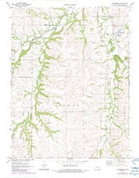
1971 Map of Allendorph
USGS Topo · Published 1984About this map
The St Louis Southwestern RR railroad cuts through the northern reaches of this Wabaunsee County landscape, following the path of Loire Creek and passing just south of Allendorph. This rural area is defined by its complex drainage network, where the West Branch Mill Creek and South Branch Mill Creek converge amidst the rolling terrain of the Mill Creek and Farmer townships.
Find a feature on this map
19 named features on this map. Tap any name to fly to it.
Don’t see what you’re looking for? This feature index may not catch every label — zoom into the map to look around manually.
Map Details
Editions of this 1971 Allendorph Map
2 editions found
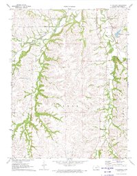
Other maps of this area

1885 · Eskridge
USGS Topo · 1:125,000

1889 · Wamego
USGS Topo · 1:125,000

1889 · Eskridge
USGS Topo · 1:125,000

1894 · Eskridge
USGS Topo · 1:125,000

1894 · Wamego
USGS Topo · 1:125,000
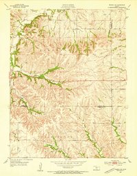
1953 · Wamego SW
USGS Topo · 1:24,000

1954 · Alma
USGS Topo · 1:24,000

1954 · Mc Farland
USGS Topo · 1:24,000

1955 · Manhattan
USGS Topo · 1:250,000

1955 · Hutchinson
USGS Topo · 1:250,000