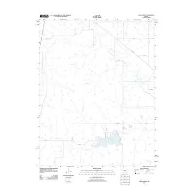
2012 Map of Lake Kahola
USGS Topo · Published 2012About this map
Lake Kahola and the winding course of the Neosho River dominate this portion of the Kansas landscape. The reservoir, fed by Kahola Cr, is a primary landmark in a region defined by its complex network of small tributaries and seasonal drainages. These watercourses, including Walker Br, Big John Cr, and Wolf Cr, intersect the section-line roads that impose a strict grid upon the prairie.
Find a feature on this map
24 named features on this map. Tap any name to fly to it.
Don’t see what you’re looking for? This feature index may not catch every label — zoom into the map to look around manually.
Map Details
Editions of this 2012 Lake Kahola Map
This is the sole edition of this map. No revisions or reprints were ever made.
Other maps of this area

1885 · Eskridge
USGS Topo · 1:125,000

1888 · Emporia
USGS Topo · 1:125,000

1889 · Parkerville
USGS Topo · 1:125,000

1889 · Eskridge
USGS Topo · 1:125,000

1894 · Emporia
USGS Topo · 1:125,000

1894 · Eskridge
USGS Topo · 1:125,000

1894 · Parkerville
USGS Topo · 1:125,000

1898 · Cottonwood Falls
USGS Topo · 1:125,000

1955 · Hutchinson
USGS Topo · 1:250,000

1957 · Strong City
USGS Topo · 1:24,000