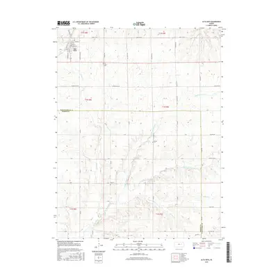
2015 Map of Alta Vista
USGS Topo · Published 2015About this map
Alta Vista sits near the northern edge of this map, established at the crossing of high prairie and the headwaters of the Munkers Cr system. The town's grid is clearly defined by historical thoroughfares like Main St and Railroad St, reflecting its identity as an upland rail and trade center. The surrounding landscape in the southern half of the quadrangle is dominated by the complex drainage of the Middle Br Munkers Cr and East Br Munkers Cr, which carve through the Flint Hills terrain. Local family and community history is preserved at the Alta Vista Cem, Bemoan Cem, and Garfield Cem. A notable geographic thread is the Mormon Trail Rd, a modern name reflecting the deep historical roots of the overland routes that once traversed this portion of Wabaunsee and Morris counties.
Find a feature on this map
28 named features on this map. Tap any name to fly to it.
Don’t see what you’re looking for? This feature index may not catch every label — zoom into the map to look around manually.
Map Details
Editions of this 2015 Alta Vista Map
This is the sole edition of this map. No revisions or reprints were ever made.
Other maps of this area

1885 · Eskridge
USGS Topo · 1:125,000

1889 · Parkerville
USGS Topo · 1:125,000

1889 · Eskridge
USGS Topo · 1:125,000

1894 · Eskridge
USGS Topo · 1:125,000

1894 · Parkerville
USGS Topo · 1:125,000

1955 · Hutchinson
USGS Topo · 1:250,000

1959 · Hutchinson
USGS Topo · 1:250,000
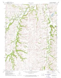
1971 · Allendorph
USGS Topo · 1:24,000

1971 · Alta Vista SE
USGS Topo · 1:24,000
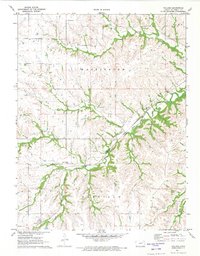
1971 · Volland
USGS Topo · 1:24,000