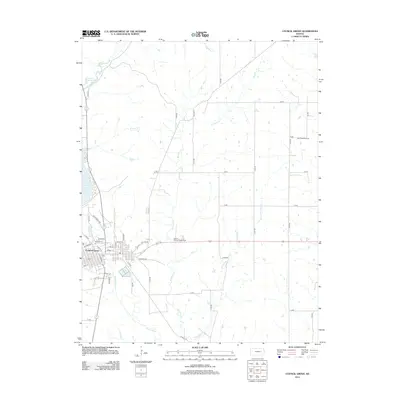
2012 Map of Council Grove
USGS Topo · Published 2012About this map
Council Grove anchors this eastern Kansas landscape, situated at the confluence of several key waterways including the Neosho River and Elm Cr. The town's grid is dense with residential streets such as Huff Aker St, Hall St, and Market St, while the Po and the Morris County Fairgrounds serve as central community hubs. To the northwest, the significant reach of Council Grove Lake dominates the terrain, fed by Munkers Cr. The surrounding countryside is defined by an orderly section-line road network, including Old Hwy 56 and Old Hwy 4, which cut through a landscape shaped by both agriculture and energy extraction. Evidence of local industry is found to the northeast at the John Creek Oil Field, where the prairie gives way to petroleum production along the upper reaches of Big John Cr.
Find a feature on this map
45 named features on this map. Tap any name to fly to it.
Don’t see what you’re looking for? This feature index may not catch every label — zoom into the map to look around manually.
Map Details
Editions of this 2012 Council Grove Map
This is the sole edition of this map. No revisions or reprints were ever made.
Other maps of this area

1885 · Eskridge
USGS Topo · 1:125,000

1889 · Parkerville
USGS Topo · 1:125,000

1889 · Eskridge
USGS Topo · 1:125,000

1894 · Eskridge
USGS Topo · 1:125,000

1894 · Parkerville
USGS Topo · 1:125,000

1955 · Hutchinson
USGS Topo · 1:250,000

1959 · Hutchinson
USGS Topo · 1:250,000

1971 · Alta Vista SE
USGS Topo · 1:24,000

1971 · Bushong
USGS Topo · 1:24,000

1971 · Alta Vista
USGS Topo · 1:24,000