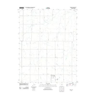
2012 Map of Wilsey
USGS Topo · Published 2012About this map
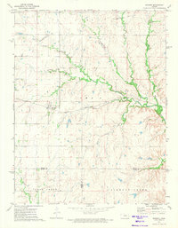
Wilsey serves as the central hub of this Morris County landscape, where the town's grid is defined by Main St, Lyndon St, and Vorse St. The surrounding countryside is a intricate network of drainage, where the Neosho River and its W Fork Neosho River feed into a system of named waterways including Crooked Cr, Haun Cr, and Fourmile Cr. For those researching local family history, the map identifies two significant burial sites: Wilsey Cem located just south of the town center near V Ave, and Highland Cem situated to the north along T Ave. The terrain is marked by a structured grid of rural roads like Gilmore Rd and S 2000 Rd, which provide access to the agricultural parcels between the various creek forks. The presence of the Wilsey Wastewater Treatment Facility near the southern edge of town reflects the modern infrastructure supporting this rural Kansas community.
Find a feature on this map
40 named features on this map. Tap any name to fly to it.
Don’t see what you’re looking for? This feature index may not catch every label — zoom into the map to look around manually.
Map Details
Editions of this 2012 Wilsey Map
This is the sole edition of this map. No revisions or reprints were ever made.
Other maps of this area

1889 · Parkerville
USGS Topo · 1:125,000

1894 · Parkerville
USGS Topo · 1:125,000

1955 · Hutchinson
USGS Topo · 1:250,000

1959 · Hutchinson
USGS Topo · 1:250,000

1964 · Skiddy
USGS Topo · 1:24,000
1971 · Council Grove Lake
USGS Topo · 1:24,000
1971 · Dwight
USGS Topo · 1:24,000
1971 · White City
USGS Topo · 1:24,000

1972 · Wilsey
USGS Topo · 1:24,000
1972 · Burdick
USGS Topo · 1:24,000