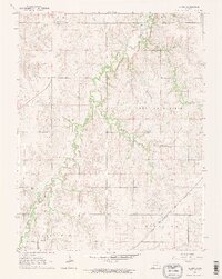
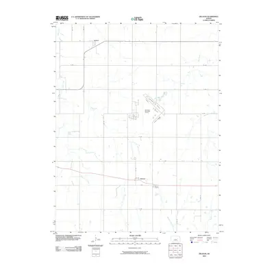
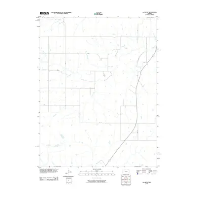
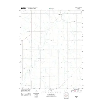
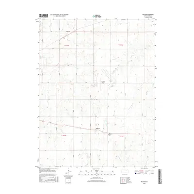
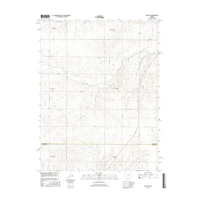
1964 Map of Skiddy
USGS Topo · Published 1965About this map
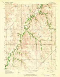
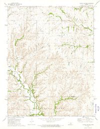
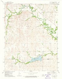
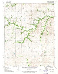
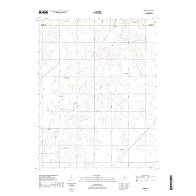
Skiddy stands as the primary settlement in this mid-1960s survey of the Rolling Prairie landscape. The region is defined by the sinuous paths of Clarks Creek and Mulberry Creek, which carve through the open terrain of Overland and Highland. This survey captures a moment of transition in the local transportation network, documenting both the active Chicago Rock Island and Pacific railroad line and an Old Railroad Grade that speaks to earlier transit routes. The map illustrates a rural interior of Morris County and Geary County where the township boundaries of Clarks Creek and Blakely meet. The interplay between the drainage patterns and the established rail corridors provides a clear view of how topography influenced the development of these central Kansas communities.
Find a feature on this map
11 named features on this map. Tap any name to fly to it.
Don’t see what you’re looking for? This feature index may not catch every label — zoom into the map to look around manually.
Map Details
Editions of this 1964 Skiddy Map
2 editions found
Historical Maps of Skiddy Through Time
36 maps found
1964 Skiddy
Morris County, KS
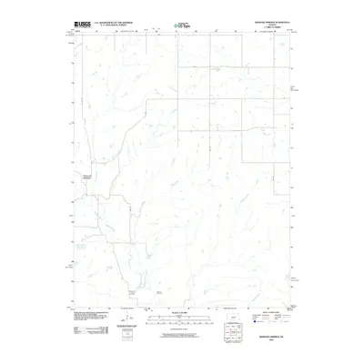
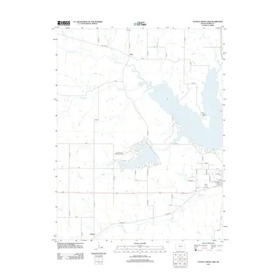
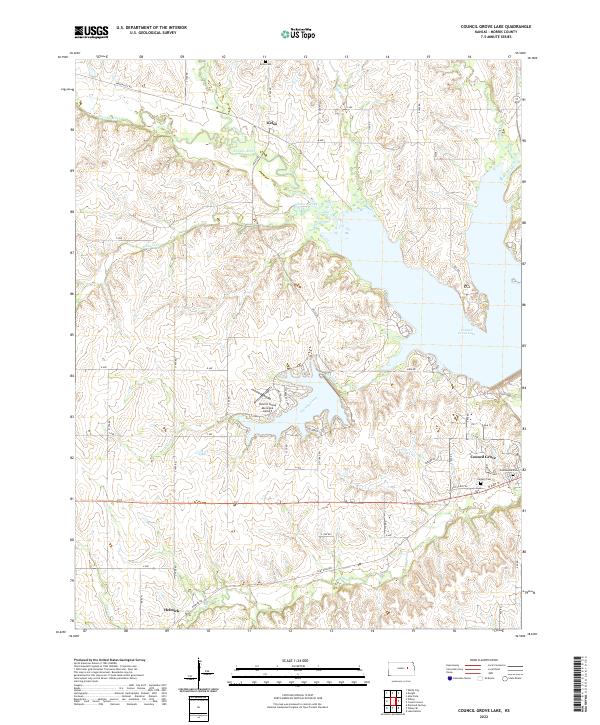
1971 Council Grove Lake
Morris County, KS
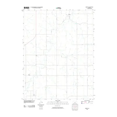
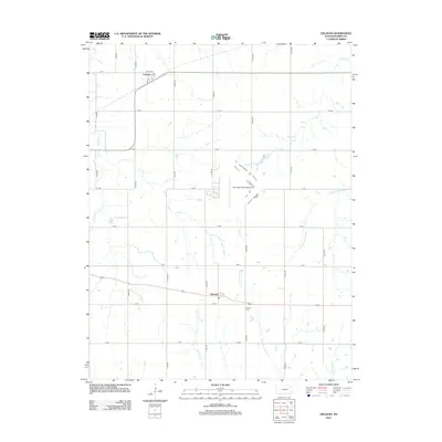
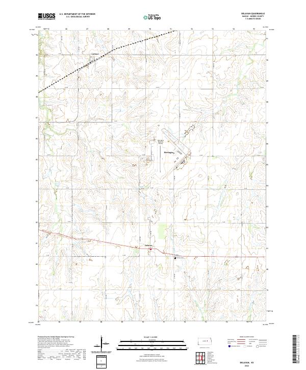
1972 Delavan
Morris County, KS
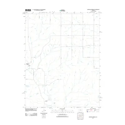
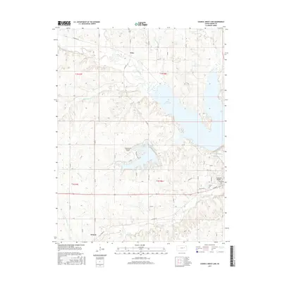
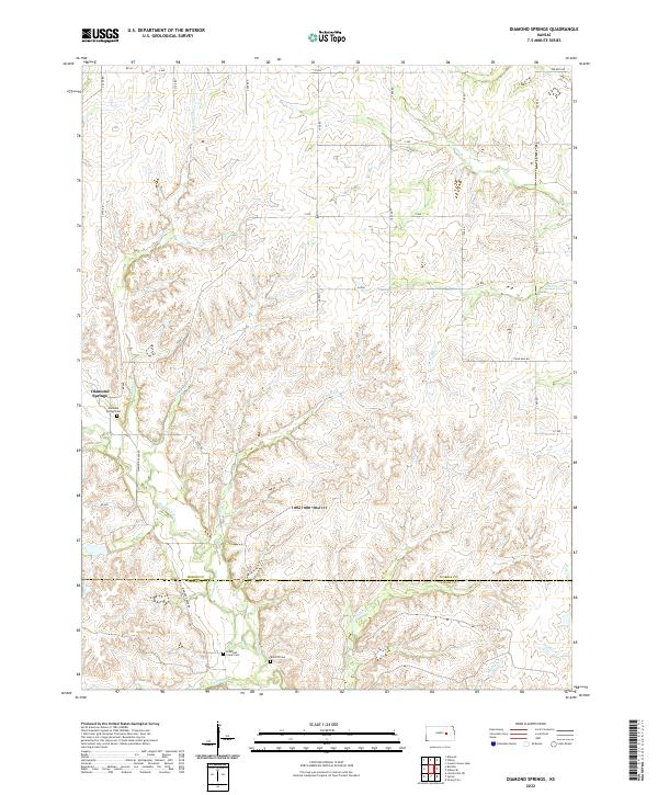
1972 Diamond Springs
Morris County, KS
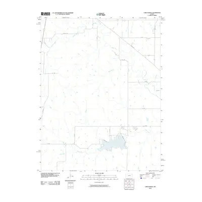
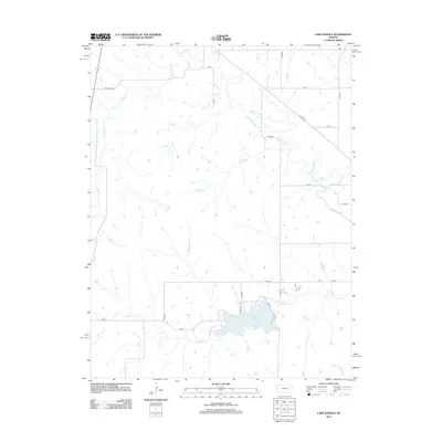
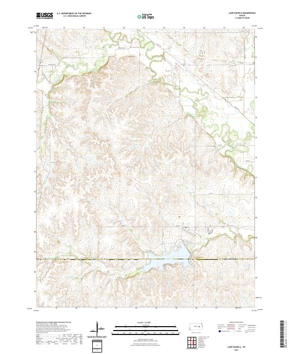
1972 Lake Kahola
Morris County, KS
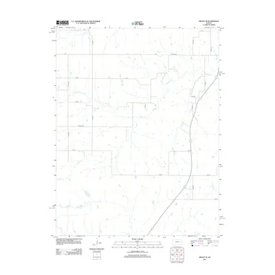
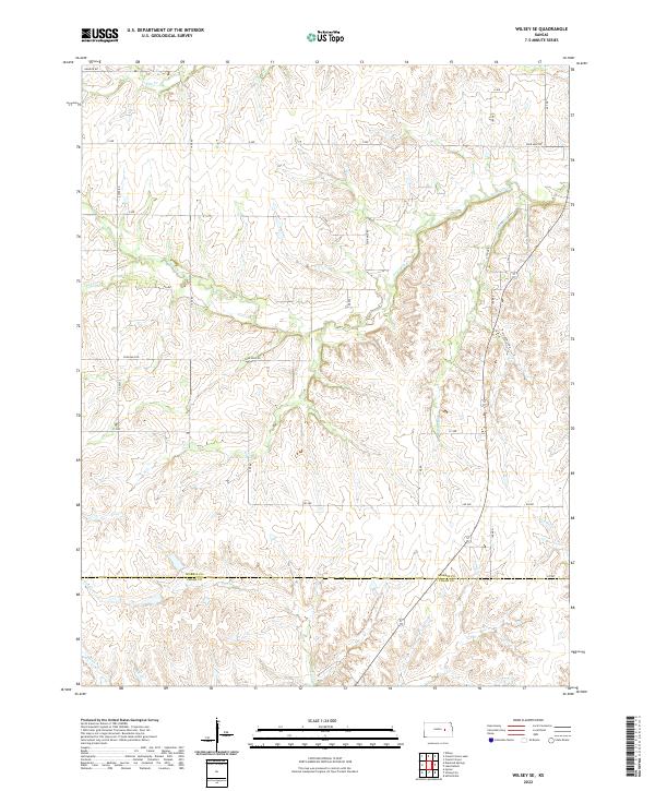
1972 Wilsey SE
Morris County, KS
2009 Council Grove Lake
Morris County, KS
2009 Delavan
Morris County, KS
2009 Diamond Springs
Morris County, KS
2009 Skiddy
Morris County, KS
2010 Lake Kahola
Morris County, KS
2010 Wilsey SE
Morris County, KS
2012 Council Grove Lake
Morris County, KS
2012 Delavan
Morris County, KS
2012 Diamond Springs
Morris County, KS
2012 Lake Kahola
Morris County, KS
2012 Skiddy
Morris County, KS
2012 Wilsey SE
Morris County, KS
2015 Council Grove Lake
Morris County, KS
2015 Delavan
Morris County, KS
2015 Diamond Springs
Morris County, KS
2015 Lake Kahola
Morris County, KS
2015 Skiddy
Morris County, KS
2015 Wilsey SE
Morris County, KS
2018 Council Grove Lake
Morris County, KS
2018 Delavan
Morris County, KS
2018 Diamond Springs
Morris County, KS
2018 Lake Kahola
Morris County, KS
2018 Skiddy
Morris County, KS
2018 Wilsey SE
Morris County, KS
2022 Council Grove Lake
Morris County, KS
2022 Delavan
Morris County, KS
2022 Diamond Springs
Morris County, KS
2022 Lake Kahola
Morris County, KS
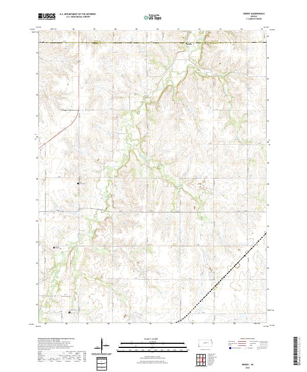
2022 Skiddy
Morris County, KS
2022 Wilsey SE
Morris County, KS