
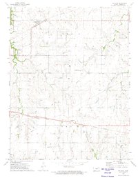
1972 Map of Wilsey
USGS Topo · Published 1974About this map
Wilsey serves as the primary community in this Morris County landscape, centered on the Missouri Pacific railroad line that cuts across the southern plains. The topography is defined by the headwaters and tributaries of the Neosho River, including the West Fork Neosho River and several smaller streams like Haun Creek and Crooked Creek that carve wooded draws through the agricultural sections.
Find a feature on this map
18 named features on this map. Tap any name to fly to it.
Don’t see what you’re looking for? This feature index may not catch every label — zoom into the map to look around manually.
Map Details
Editions of this 1972 Wilsey Map
This is the sole edition of this map. No revisions or reprints were ever made.
Other maps of this area

1889 · Parkerville
USGS Topo · 1:125,000

1894 · Parkerville
USGS Topo · 1:125,000

1955 · Hutchinson
USGS Topo · 1:250,000

1959 · Hutchinson
USGS Topo · 1:250,000

1964 · Skiddy
USGS Topo · 1:24,000
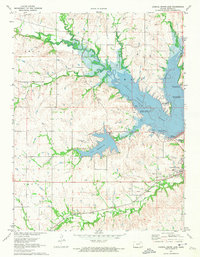
1971 · Council Grove Lake
USGS Topo · 1:24,000
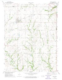
1971 · Dwight
USGS Topo · 1:24,000
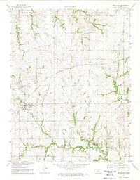
1971 · White City
USGS Topo · 1:24,000
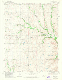
1972 · Burdick
USGS Topo · 1:24,000
1972 · Delavan
USGS Topo · 1:24,000