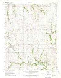
1971 Map of White City
USGS Topo · Published 1974About this map
White City serves as a primary hub for this agricultural landscape, anchored by the Chicago Rock Island and Pacific railroad line. The settlement pattern is defined by traditional township grids, where rural life centered on local landmarks like the Marion Hill Ch and several family or community burial grounds, including White City Cem and Burton Cem. The geography transitions from the northern drainages of West Branch Lyon Creek and Davis Creek toward the southern valley of the Neosho River. Near Parkerville, an Old Railroad Grade hints at the shifting infrastructure of the Kansas prairie during the early 1970s. Industrial activity is visible in several localized Quarries and a Quarry, while the river network, including Parker Creek and Ramseys Creek, carves a distinct path through the Morris County countryside.
Find a feature on this map
22 named features on this map. Tap any name to fly to it.
Don’t see what you’re looking for? This feature index may not catch every label — zoom into the map to look around manually.
Map Details
Editions of this 1971 White City Map
This is the sole edition of this map. No revisions or reprints were ever made.
Other maps of this area

1889 · Parkerville
USGS Topo · 1:125,000

1894 · Parkerville
USGS Topo · 1:125,000

1955 · Hutchinson
USGS Topo · 1:250,000

1959 · Hutchinson
USGS Topo · 1:250,000

1964 · Skiddy
USGS Topo · 1:24,000
1964 · Wreford
USGS Topo · 1:24,000
1971 · White City NW
USGS Topo · 1:24,000
1971 · Council Grove Lake
USGS Topo · 1:24,000
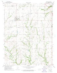
1971 · Dwight
USGS Topo · 1:24,000
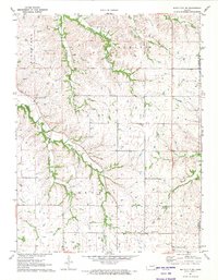
1971 · White City NE
USGS Topo · 1:24,000