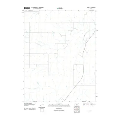
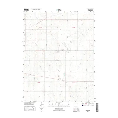
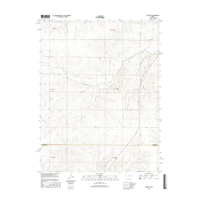
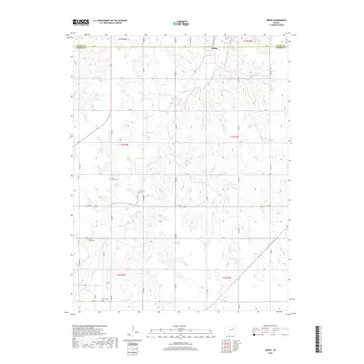
1964 Map of Skiddy
USGS Topo · Published 1965About this map
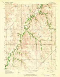
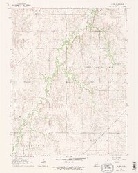
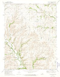
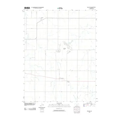
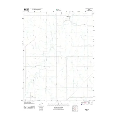
Skiddy sits at the northern edge of this Kansas landscape, where the wooded drainages of Clarks Creek and Mulberry Creek carve through the high ground. The terrain is defined by broad plateaus labeled Rolling Prairie, Overland, and Highland, illustrating the distinct upland character of this portion of the Morris County and Geary County line. The transportation network reveals a transition in rail history, showing the active Chicago Rock Island and Pacific line in the southeast while an Old Railroad Grade remains visible near the settlement of Skiddy. Genealogists will find several rural burial sites, including St Johns Cem, Clarks Creek Cem, and Latimer Cem, which serve as permanent markers of the early farmstead community. Evidence of local industry is sparse but present, noted by a lone Quarry situated among the draws and ridges.
Find a feature on this map
16 named features on this map. Tap any name to fly to it.
Don’t see what you’re looking for? This feature index may not catch every label — zoom into the map to look around manually.
Map Details
Editions of this 1964 Skiddy Map
2 editions found
Historical Maps of Skiddy Through Time
36 maps found
1964 Skiddy
Morris County, KS
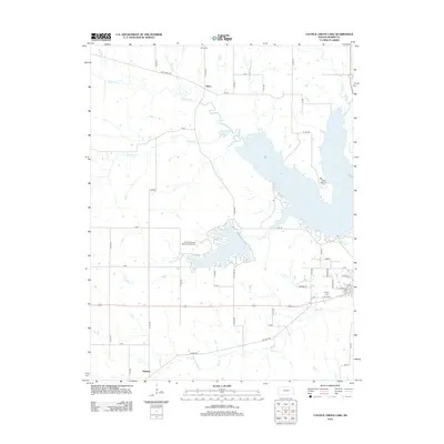
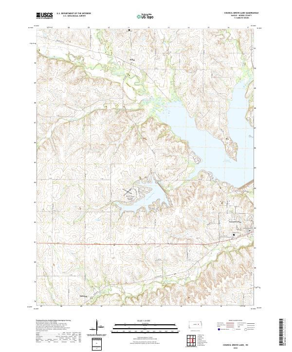
1971 Council Grove Lake
Morris County, KS
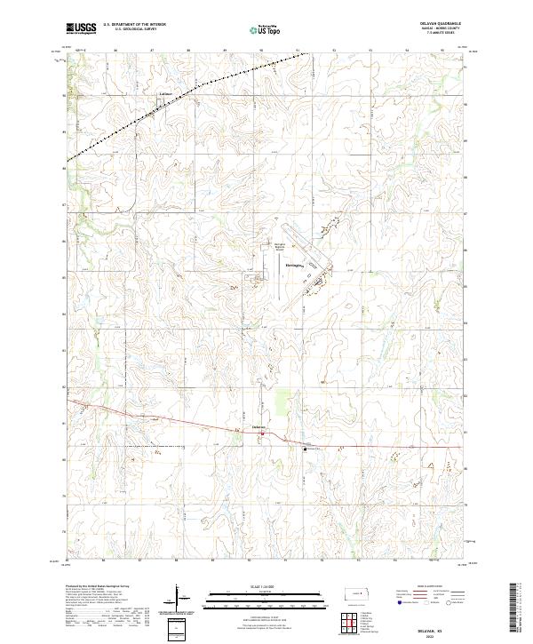
1972 Delavan
Morris County, KS
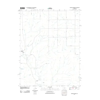
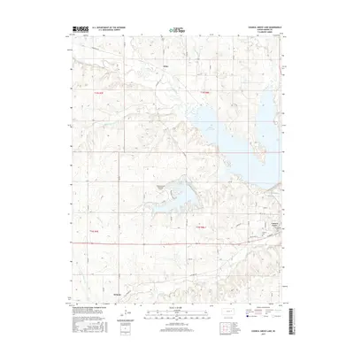
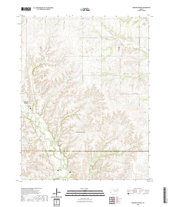
1972 Diamond Springs
Morris County, KS
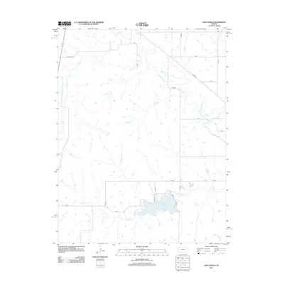
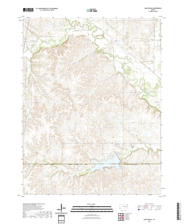
1972 Lake Kahola
Morris County, KS
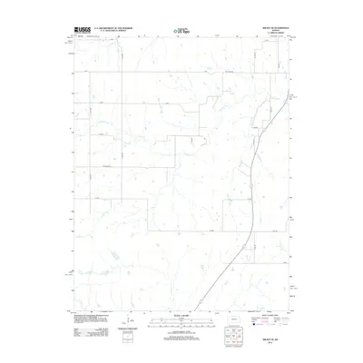
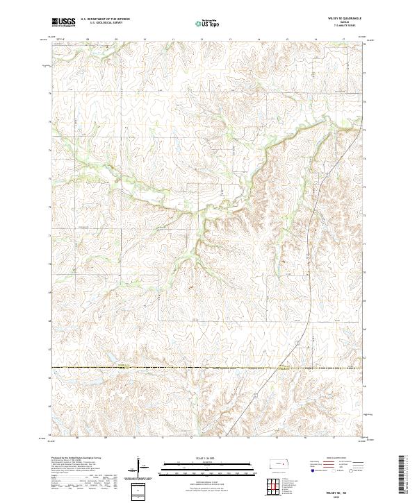
1972 Wilsey SE
Morris County, KS
2009 Council Grove Lake
Morris County, KS
2009 Delavan
Morris County, KS
2009 Diamond Springs
Morris County, KS
2009 Skiddy
Morris County, KS
2010 Lake Kahola
Morris County, KS
2010 Wilsey SE
Morris County, KS
2012 Council Grove Lake
Morris County, KS
2012 Delavan
Morris County, KS
2012 Diamond Springs
Morris County, KS
2012 Lake Kahola
Morris County, KS
2012 Skiddy
Morris County, KS
2012 Wilsey SE
Morris County, KS
2015 Council Grove Lake
Morris County, KS
2015 Delavan
Morris County, KS
2015 Diamond Springs
Morris County, KS
2015 Lake Kahola
Morris County, KS
2015 Skiddy
Morris County, KS
2015 Wilsey SE
Morris County, KS
2018 Council Grove Lake
Morris County, KS
2018 Delavan
Morris County, KS
2018 Diamond Springs
Morris County, KS
2018 Lake Kahola
Morris County, KS
2018 Skiddy
Morris County, KS
2018 Wilsey SE
Morris County, KS
2022 Council Grove Lake
Morris County, KS
2022 Delavan
Morris County, KS
2022 Diamond Springs
Morris County, KS
2022 Lake Kahola
Morris County, KS
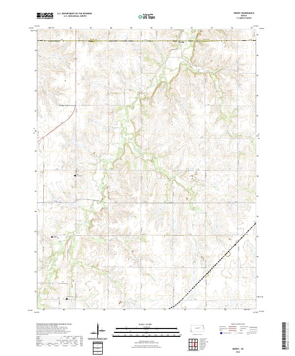
2022 Skiddy
Morris County, KS
2022 Wilsey SE
Morris County, KS