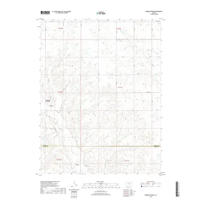
2018 Map of Diamond Springs
USGS Topo · Published 2018About this map
Diamond Springs serves as the focal point of this rural Kansas landscape, situated near the headwaters of the Diamond Creek drainage system. The terrain is defined by a dense network of intermittent streams, including School Creek, Silver Creek, and Paddy Creek, which carve deep contours into the upland prairie. These waterways converge south of the Morris Co Chase Co line, where the landscape transitions toward the broader Flint Hills region.
Find a feature on this map
39 named features on this map. Tap any name to fly to it.
Don’t see what you’re looking for? This feature index may not catch every label — zoom into the map to look around manually.
Map Details
Editions of this 2018 Diamond Springs Map
This is the sole edition of this map. No revisions or reprints were ever made.
Other maps of this area

1889 · Parkerville
USGS Topo · 1:125,000

1894 · Parkerville
USGS Topo · 1:125,000

1898 · Cottonwood Falls
USGS Topo · 1:125,000

1955 · Hutchinson
USGS Topo · 1:250,000

1957 · Strong City
USGS Topo · 1:24,000

1957 · Hymer
USGS Topo · 1:24,000

1959 · Hutchinson
USGS Topo · 1:250,000

1970 · Lincolnville NE
USGS Topo · 1:24,000
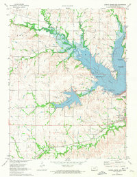
1971 · Council Grove Lake
USGS Topo · 1:24,000

1972 · Wilsey
USGS Topo · 1:24,000