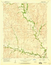
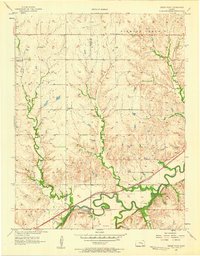
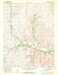
1957 Map of Hymer
USGS Topo · Published 1958About this map
Hymer sits at the northern confluence of local waterways in a landscape defined by the drainage of the Cottonwood River. Surveyed in the late 1950s, this area of Chase County shows a rural settlement pattern where life follows the paths of Diamond Creek and Middle Creek. The southern reaches of the map highlight the critical transport infrastructure of the mid-century, where the Atchison Topeka and Santa Fe railroad tracks parallel the winding river through the valley floor. The map’s detailed topography reveals a series of named creek systems, including Pickett, Schaffer, and Mulvane, which carve through the higher elevations surrounding the river plains. This document provides a look at the mid-century agricultural landscape before the intensification of modern development, preserving the locations of rural road networks and creek-side settlements.
Find a feature on this map
9 named features on this map. Tap any name to fly to it.
Don’t see what you’re looking for? This feature index may not catch every label — zoom into the map to look around manually.
Map Details
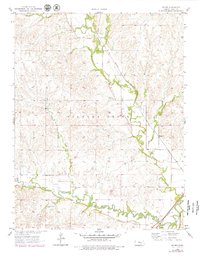
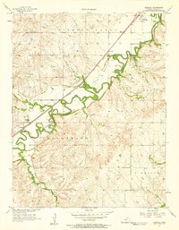
Editions of this 1957 Hymer Map
2 editions found
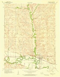
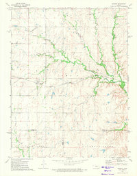
Other maps of this area

1889 · Parkerville
USGS Topo · 1:125,000

1894 · Parkerville
USGS Topo · 1:125,000

1898 · Cottonwood Falls
USGS Topo · 1:125,000

1955 · Hutchinson
USGS Topo · 1:250,000
1957 · Elmdale
USGS Topo · 1:24,000
1957 · Strong City
USGS Topo · 1:24,000
1957 · Cedar Point
USGS Topo · 1:24,000

1959 · Hutchinson
USGS Topo · 1:250,000
1970 · Lincolnville NE
USGS Topo · 1:24,000
1972 · Burdick
USGS Topo · 1:24,000