
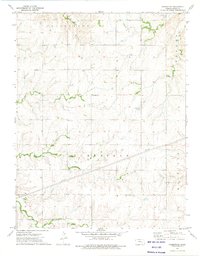
1957 Map of Elmdale
USGS Topo · Published 1958About this map
The Cottonwood River carves a winding path through this portion of Chase County, Kansas, defining the valley's settlement patterns and transport corridors during the mid-1950s. The Atchison Topeka and Santa Fe railroad runs parallel to the river, serving the local hubs of Elmdale and Clements. This corridor was the primary artery for movement through the region, connecting the small schools and rural communities to the larger rail network.
Find a feature on this map
18 named features on this map. Tap any name to fly to it.
Don’t see what you’re looking for? This feature index may not catch every label — zoom into the map to look around manually.
Map Details
Editions of this 1957 Elmdale Map
This is the sole edition of this map. No revisions or reprints were ever made.
Other maps of this area

1898 · Cottonwood Falls
USGS Topo · 1:125,000

1955 · Hutchinson
USGS Topo · 1:250,000

1957 · Strong City
USGS Topo · 1:24,000

1957 · Wonsevu
USGS Topo · 1:24,000

1957 · Cedar Point
USGS Topo · 1:24,000

1957 · Hymer
USGS Topo · 1:24,000

1959 · Hutchinson
USGS Topo · 1:250,000

1970 · Lincolnville NE
USGS Topo · 1:24,000

1973 · Matfield Green
USGS Topo · 1:24,000
1973 · Homestead
USGS Topo · 1:24,000