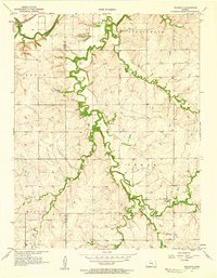
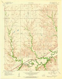
1957 Map of Wonsevu
USGS Topo · Published 1958About this map
The Wonsevu settlement serves as the focal point for this mid-century portrait of the Kansas prairie along the border of Marion Co Chase Co. The landscape is defined by the winding course of the Cottonwood River and its numerous tributaries, including Cedar Creek, Coon Creek, and Middle Creek. This network of waterways dictated the early settlement and agricultural patterns of the Doyle, Cedar, and Milton townships.
Find a feature on this map
20 named features on this map. Tap any name to fly to it.
Don’t see what you’re looking for? This feature index may not catch every label — zoom into the map to look around manually.
Map Details
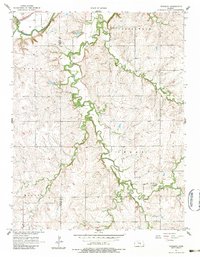
Editions of this 1957 Wonsevu Map
2 editions found
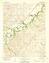
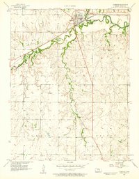
Other maps of this area

1898 · Cottonwood Falls
USGS Topo · 1:125,000

1955 · Hutchinson
USGS Topo · 1:250,000
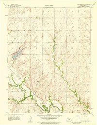
1957 · Elmdale
USGS Topo · 1:24,000
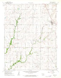
1957 · Florence
USGS Topo · 1:24,000
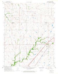
1957 · Cedar Point
USGS Topo · 1:24,000
1957 · Lincolnville SW
USGS Topo · 1:24,000

1959 · Hutchinson
USGS Topo · 1:250,000

1962 · Florence SE
USGS Topo · 1:24,000
1962 · Burns
USGS Topo · 1:24,000
1967 · Cassoday
USGS Topo · 1:24,000