1973 Map of Homestead
USGS Topo · Published 1975About this map
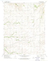
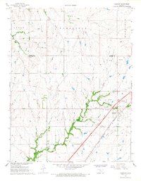
Homestead serves as the focal point for this rural Kansas landscape during the early 1970s, situated within the wider divisions of Cottonwood, Bazaar, and Matfield. The mapping reveals a sparse settlement pattern characteristic of the region, where the Community Hall and Homestead Cem mark the center of local civic life. A network of watercourses, including Coon Creek, Rock Creek, and Cedar Creek, dictates the movement of roads and the placement of small clusters like Ludwig. Modern utility infrastructure is evident through the path of Pipelines cutting across the terrain, contrasting with the traditional land boundaries of Cedar and the township lines of T. 21 S. T. 22 S. This survey records the area just as aerial photogrammetry was becoming the standard for capturing the subtle drainage patterns of the Brush Creek and Coon Branch systems.
Find a feature on this map
18 named features on this map. Tap any name to fly to it.
Don’t see what you’re looking for? This feature index may not catch every label — zoom into the map to look around manually.
Map Details
Editions of this 1973 Homestead Map
This is the sole edition of this map. No revisions or reprints were ever made.
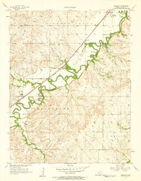
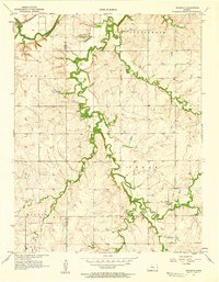
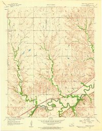
Other maps of this area

1898 · Cottonwood Falls
USGS Topo · 1:125,000

1955 · Hutchinson
USGS Topo · 1:250,000
1957 · Elmdale
USGS Topo · 1:24,000
1957 · Wonsevu
USGS Topo · 1:24,000
1957 · Cedar Point
USGS Topo · 1:24,000

1959 · Hutchinson
USGS Topo · 1:250,000

1962 · Florence SE
USGS Topo · 1:24,000
1967 · Cassoday
USGS Topo · 1:24,000

1967 · Matfield Green SE
USGS Topo · 1:24,000
1973 · Matfield Green
USGS Topo · 1:24,000