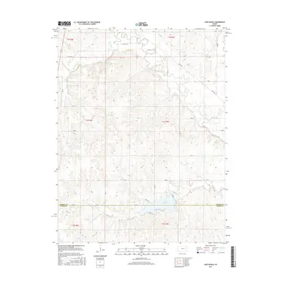
2015 Map of Lake Kahola
USGS Topo · Published 2015About this map
Lake Kahola dominates the southern portion of this landscape, positioned along the border between Morris and Chase Counties. This region is defined by a dendritic network of waterways that eventually feed the Neosho River in the northeast. Large rural sections are partitioned by a systematic grid of gravel roads, such as Four Mile Rd and Kahola Rd, which navigate the undulating Flint Hills topography. The map reveals a land primarily used for ranching and watershed management, with tributaries like Kahola Cr, Fourmile Cr, and Wolf Cr carving out the prairie. While the area lacks large-scale urban development, the local infrastructure, including named routes like Dunlap Rd and FF Ave, points to the deep-rooted agricultural and recreational importance of the Lake Kahola vicinity for residents across both counties.
Find a feature on this map
30 named features on this map. Tap any name to fly to it.
Don’t see what you’re looking for? This feature index may not catch every label — zoom into the map to look around manually.
Map Details
Editions of this 2015 Lake Kahola Map
This is the sole edition of this map. No revisions or reprints were ever made.
Other maps of this area

1885 · Eskridge
USGS Topo · 1:125,000

1888 · Emporia
USGS Topo · 1:125,000

1889 · Parkerville
USGS Topo · 1:125,000

1889 · Eskridge
USGS Topo · 1:125,000

1894 · Emporia
USGS Topo · 1:125,000

1894 · Eskridge
USGS Topo · 1:125,000

1894 · Parkerville
USGS Topo · 1:125,000

1898 · Cottonwood Falls
USGS Topo · 1:125,000

1955 · Hutchinson
USGS Topo · 1:250,000

1957 · Strong City
USGS Topo · 1:24,000