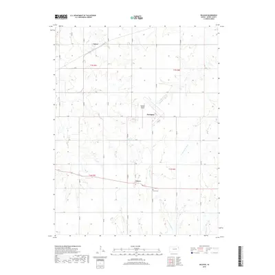
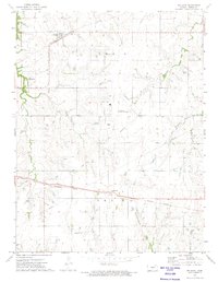
2018 Map of Delavan
USGS Topo · Published 2018About this map
Latimer and Delavan sit within a landscape of organized section lines and prairie drainage basins in Morris County. The area is defined by its agricultural grid, where alphabetical avenues and numbered roads intersect to connect these small rural hubs. To the south, the Delavan Cem provides a focal point for genealogical interest, while the Herington Regional Airport marks the western edge of the quadrangle.
Find a feature on this map
31 named features on this map. Tap any name to fly to it.
Don’t see what you’re looking for? This feature index may not catch every label — zoom into the map to look around manually.
Map Details
Editions of this 2018 Delavan Map
This is the sole edition of this map. No revisions or reprints were ever made.
Other maps of this area

1889 · Parkerville
USGS Topo · 1:125,000

1894 · Parkerville
USGS Topo · 1:125,000

1955 · Hutchinson
USGS Topo · 1:250,000

1959 · Hutchinson
USGS Topo · 1:250,000

1964 · Skiddy
USGS Topo · 1:24,000
1964 · Woodbine
USGS Topo · 1:24,000
1971 · White City
USGS Topo · 1:24,000

1972 · Wilsey
USGS Topo · 1:24,000
1972 · Burdick
USGS Topo · 1:24,000
1972 · Delavan
USGS Topo · 1:24,000