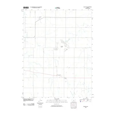
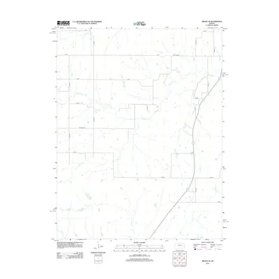
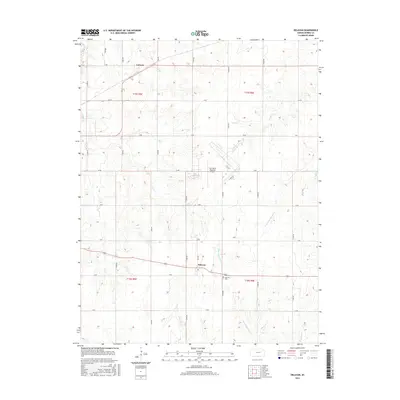
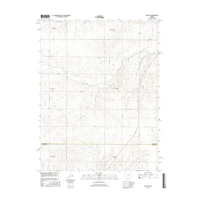
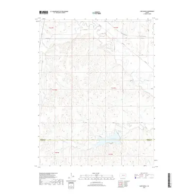
2022 Map of Wilsey SE
USGS Topo · Published 2022About this map
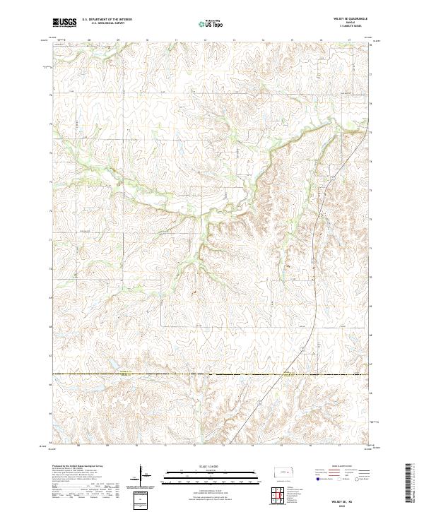
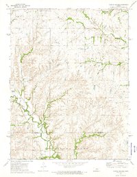
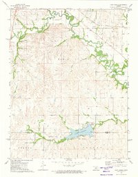
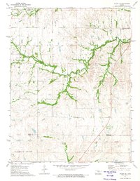
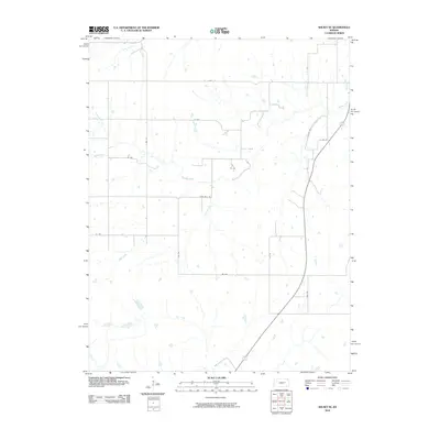
Drainage patterns and section-line roads define this rural landscape along the boundary of Morris Co Chase Co. The terrain is characterized by the intricate branching of Elm Cr and Fourmile Cr, which carve through the Flint Hills region of central Kansas. These creek valleys dictate the placement of local routes like Helmick Rd and Four Mile Rd, while the township and range system creates a rigid grid of gravel roads including S 1500 Rd and Y Ave. This 2022 survey captures the persistent agricultural and ranching character of the area, showing how modern land management still follows the historical tracks of earlier settlers. Smaller watercourses like Spring Cr and Paddy Cr feed into the larger regional basins, illustrating the vital watershed network that has supported local homesteads for generations.
Find a feature on this map
29 named features on this map. Tap any name to fly to it.
Don’t see what you’re looking for? This feature index may not catch every label — zoom into the map to look around manually.
Map Details
Editions of this 2022 Wilsey SE Map
This is the sole edition of this map. No revisions or reprints were ever made.
Historical Maps of Chase County Through Time
36 maps found
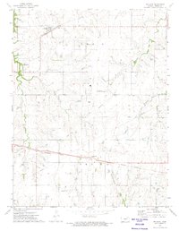
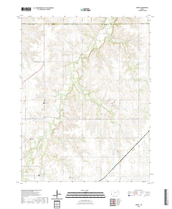
1964 Skiddy
Morris County, KS
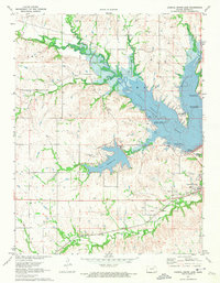
1971 Council Grove Lake
Morris County, KS
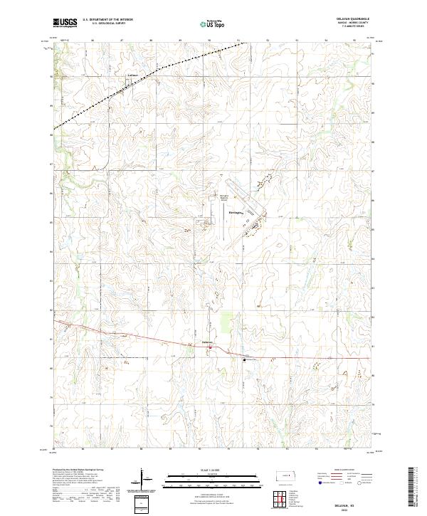
1972 Delavan
Morris County, KS
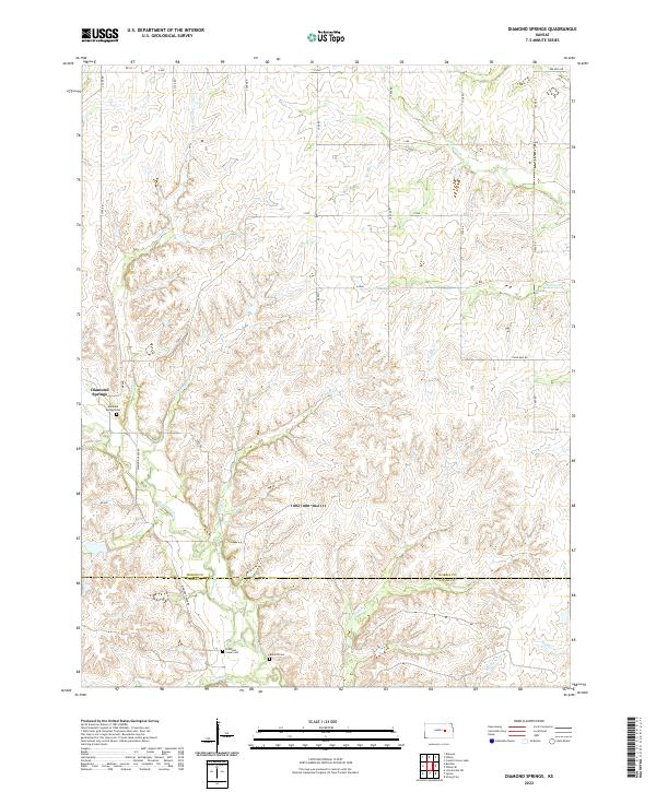
1972 Diamond Springs
Morris County, KS
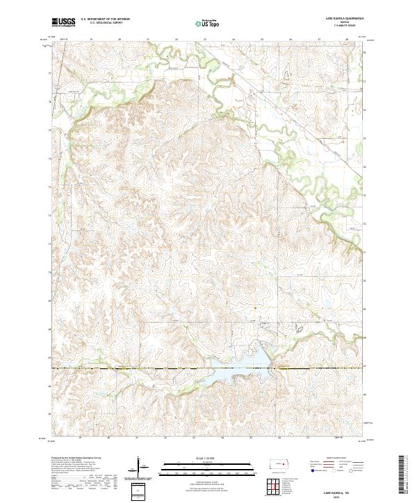
1972 Lake Kahola
Morris County, KS
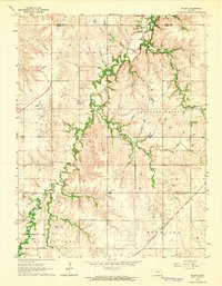
1972 Wilsey SE
Morris County, KS
2009 Council Grove Lake
Morris County, KS
2009 Delavan
Morris County, KS
2009 Diamond Springs
Morris County, KS
2009 Skiddy
Morris County, KS
2010 Lake Kahola
Morris County, KS
2010 Wilsey SE
Morris County, KS
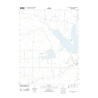
2012 Council Grove Lake
Morris County, KS
2012 Delavan
Morris County, KS
2012 Diamond Springs
Morris County, KS
2012 Lake Kahola
Morris County, KS
2012 Skiddy
Morris County, KS
2012 Wilsey SE
Morris County, KS
2015 Council Grove Lake
Morris County, KS
2015 Delavan
Morris County, KS
2015 Diamond Springs
Morris County, KS
2015 Lake Kahola
Morris County, KS
2015 Skiddy
Morris County, KS
2015 Wilsey SE
Morris County, KS
2018 Council Grove Lake
Morris County, KS
2018 Delavan
Morris County, KS
2018 Diamond Springs
Morris County, KS
2018 Lake Kahola
Morris County, KS
2018 Skiddy
Morris County, KS
2018 Wilsey SE
Morris County, KS
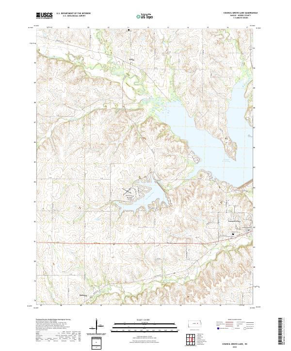
2022 Council Grove Lake
Morris County, KS
2022 Delavan
Morris County, KS
2022 Diamond Springs
Morris County, KS
2022 Lake Kahola
Morris County, KS
2022 Skiddy
Morris County, KS
2022 Wilsey SE
Morris County, KS