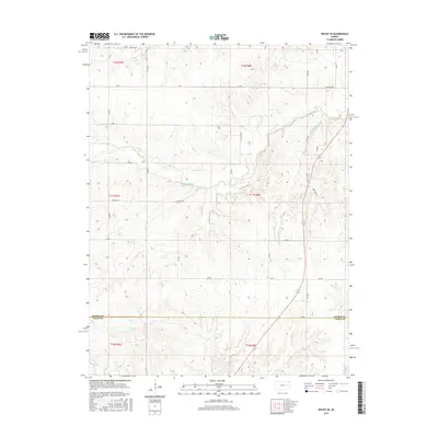
2015 Map of Wilsey SE
USGS Topo · Published 2015About this map
Morris County and Chase County meet in this landscape defined by the rolling drainage basins of the Flint Hills region. The terrain is deeply inscribed by a dense network of watercourses, including the central path of Fourmile Cr and its tributaries like Spring Cr and Paddy Cr. The map reveals a highly structured rural grid of section-line roads, such as Helmick Rd, Four Mile Rd, and DD Ave, which navigate the elevation changes between creek valleys. While no major towns are centered on this sheet, the abundance of named creeks like Elm Cr in the north and Fox Cr in the south suggests a landscape dominated by ranching and traditional land use, where the natural hydrology dictated the placement of early homesteads and transport routes across the county line.
Find a feature on this map
33 named features on this map. Tap any name to fly to it.
Don’t see what you’re looking for? This feature index may not catch every label — zoom into the map to look around manually.
Map Details
Editions of this 2015 Wilsey SE Map
This is the sole edition of this map. No revisions or reprints were ever made.
Other maps of this area

1885 · Eskridge
USGS Topo · 1:125,000

1888 · Emporia
USGS Topo · 1:125,000

1889 · Parkerville
USGS Topo · 1:125,000

1889 · Eskridge
USGS Topo · 1:125,000

1894 · Emporia
USGS Topo · 1:125,000

1894 · Eskridge
USGS Topo · 1:125,000

1894 · Parkerville
USGS Topo · 1:125,000

1898 · Cottonwood Falls
USGS Topo · 1:125,000

1955 · Hutchinson
USGS Topo · 1:250,000

1957 · Strong City
USGS Topo · 1:24,000