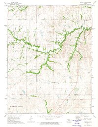
1972 Map of Wilsey SE
USGS Topo · Published 1974About this map
The Indian Treaty Boundary and Old Indian Treaty Boundary slash across this rural landscape, marking a significant historical line of demarcation in the Flint Hills region. Surveyed in the early 1970s, the terrain is defined by a dense network of upland drainage, where Elm Creek and Fourmile Creek carve through the prairie. The Missouri Pacific railroad corridor runs along the northern edge, supporting local industry evidenced by a Quarry and Gravel Pit. Genealogists may find interest in the isolated Fourmile Cem, situated near the confluence of local streams. The map also captures the transition between Morris and Chase counties, reflecting a landscape of ranching and early transportation, including the quiet Roadside Park along the eastern highway corridor.
Find a feature on this map
21 named features on this map. Tap any name to fly to it.
Don’t see what you’re looking for? This feature index may not catch every label — zoom into the map to look around manually.
Map Details
Editions of this 1972 Wilsey SE Map
This is the sole edition of this map. No revisions or reprints were ever made.
Other maps of this area

1885 · Eskridge
USGS Topo · 1:125,000

1888 · Emporia
USGS Topo · 1:125,000

1889 · Parkerville
USGS Topo · 1:125,000

1889 · Eskridge
USGS Topo · 1:125,000

1894 · Emporia
USGS Topo · 1:125,000

1894 · Eskridge
USGS Topo · 1:125,000

1894 · Parkerville
USGS Topo · 1:125,000

1898 · Cottonwood Falls
USGS Topo · 1:125,000

1955 · Hutchinson
USGS Topo · 1:250,000

1957 · Strong City
USGS Topo · 1:24,000