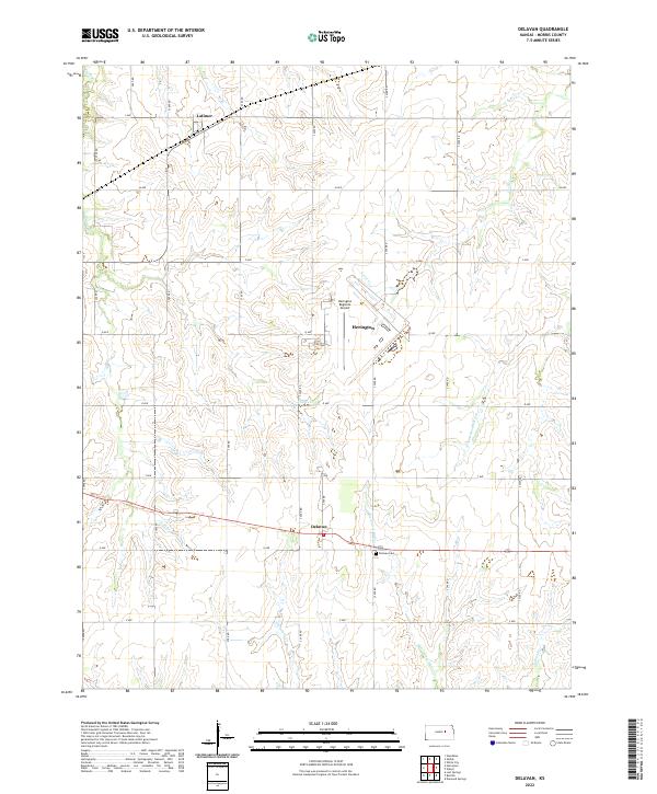
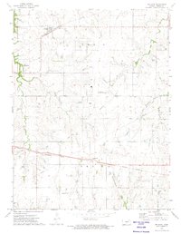
2022 Map of Delavan
USGS Topo · Published 2022About this map
Delavan and Latimer anchor this rural Morris County landscape, where the headwaters of the Neosho and Smoky Hill basins intersect. The area is defined by a grid of agricultural section roads including U Ave and S 2600 Rd, which connect remote farmsteads across the undulating prairie. Waterways like Mile-and-a-Half Cr and the W Fork Neosho River carve distinct drainage patterns through the terrain. Evidence of local heritage is preserved at the Delavan Cem, while modern infrastructure is represented by the Herington Regional Airport and a cluster of development around Herington in the central portion of the map. The spatial organization remains heavily influenced by the Public Land Survey System, reflected in the clearly delineated township boundaries such as t16s r5e.
Find a feature on this map
32 named features on this map. Tap any name to fly to it.
Don’t see what you’re looking for? This feature index may not catch every label — zoom into the map to look around manually.
Map Details
Editions of this 2022 Delavan Map
This is the sole edition of this map. No revisions or reprints were ever made.
Other maps of this area

1889 · Parkerville
USGS Topo · 1:125,000

1894 · Parkerville
USGS Topo · 1:125,000

1955 · Hutchinson
USGS Topo · 1:250,000

1959 · Hutchinson
USGS Topo · 1:250,000

1964 · Skiddy
USGS Topo · 1:24,000
1964 · Woodbine
USGS Topo · 1:24,000
1971 · White City
USGS Topo · 1:24,000

1972 · Wilsey
USGS Topo · 1:24,000
1972 · Burdick
USGS Topo · 1:24,000
1972 · Delavan
USGS Topo · 1:24,000