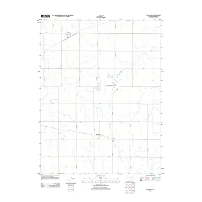
2012 Map of Delavan
USGS Topo · Published 2012About this map
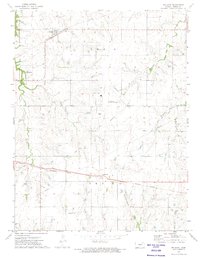
Latimer and Delavan anchor this rural section of Morris County, where the landscape is defined by a grid of agricultural roads and the winding paths of several creeks. The town of Latimer sits in the northwest near the intersection of Kasten St and Main St, while Delavan lies further south along US Highway 56. Local genealogy is supported by the location of Delavan Cem just east of the settlement.
Find a feature on this map
28 named features on this map. Tap any name to fly to it.
Don’t see what you’re looking for? This feature index may not catch every label — zoom into the map to look around manually.
Map Details
Editions of this 2012 Delavan Map
This is the sole edition of this map. No revisions or reprints were ever made.
Other maps of this area

1889 · Parkerville
USGS Topo · 1:125,000

1894 · Parkerville
USGS Topo · 1:125,000

1955 · Hutchinson
USGS Topo · 1:250,000

1959 · Hutchinson
USGS Topo · 1:250,000

1964 · Skiddy
USGS Topo · 1:24,000
1964 · Woodbine
USGS Topo · 1:24,000
1971 · White City
USGS Topo · 1:24,000

1972 · Wilsey
USGS Topo · 1:24,000
1972 · Burdick
USGS Topo · 1:24,000
1972 · Delavan
USGS Topo · 1:24,000