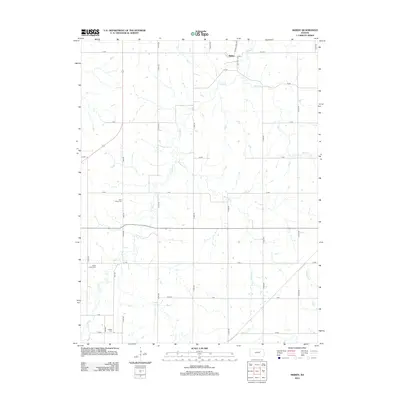
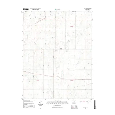
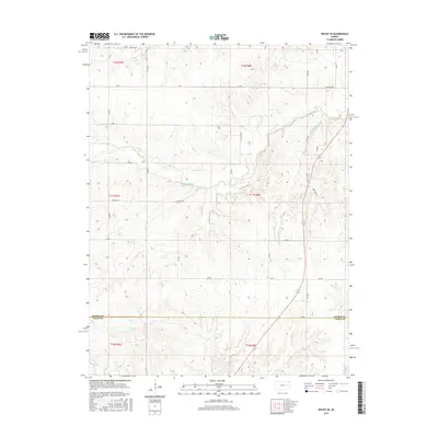
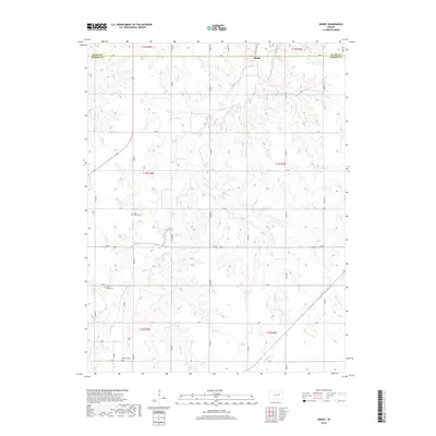
2022 Map of Skiddy
USGS Topo · Published 2022About this map
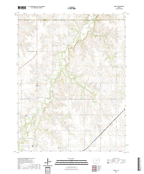
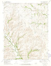
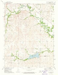
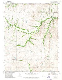
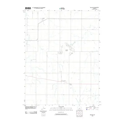
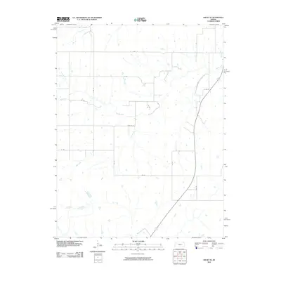
Skiddy sits at the northern edge of this Morris County landscape, where the prairie is deeply etched by a branching network of creek drainages. The area's settlement history is preserved through scattered burial grounds such as Saint Johns Cem near the center and Clarks Creek Cem to the southwest. The terrain is defined by the winding course of Clarks Cr, which is joined by tributaries like Mulberry Cr and Ralls Cr as they flow toward the Neosho River in the southeast corner. A rigid grid of section-line roads, including A Ave and J Ave, provides access across the undulating topography, illustrating the enduring influence of the Public Land Survey System on the Kansas rural landscape. Near the southern boundary, Latimer Cem marks another historical node within this agricultural region.
Find a feature on this map
27 named features on this map. Tap any name to fly to it.
Don’t see what you’re looking for? This feature index may not catch every label — zoom into the map to look around manually.
Map Details
Editions of this 2022 Skiddy Map
This is the sole edition of this map. No revisions or reprints were ever made.
Historical Maps of Skiddy Through Time
36 maps found
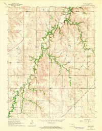
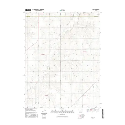
1964 Skiddy
Morris County, KS
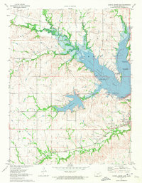
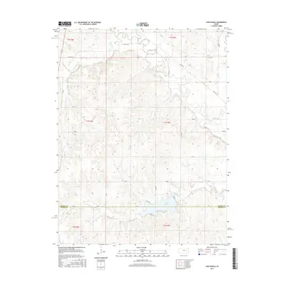
1971 Council Grove Lake
Morris County, KS
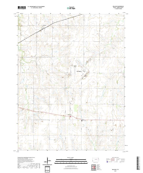
1972 Delavan
Morris County, KS
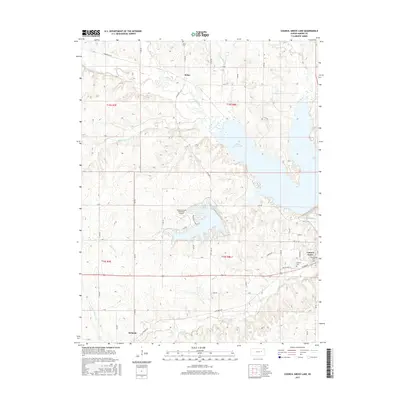
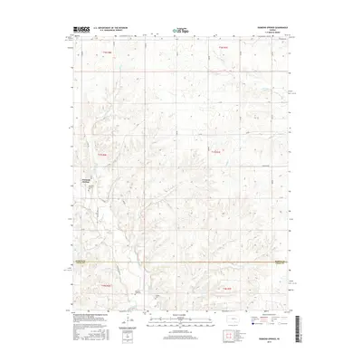
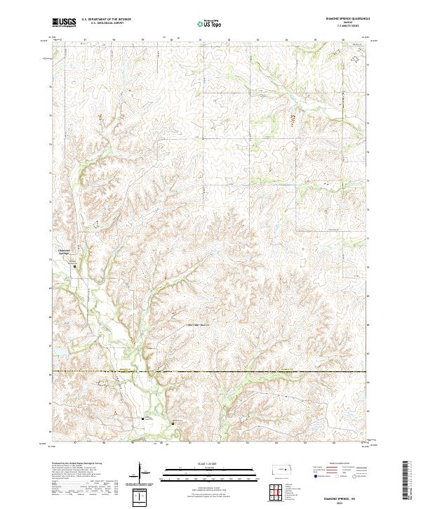
1972 Diamond Springs
Morris County, KS
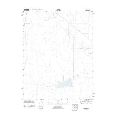
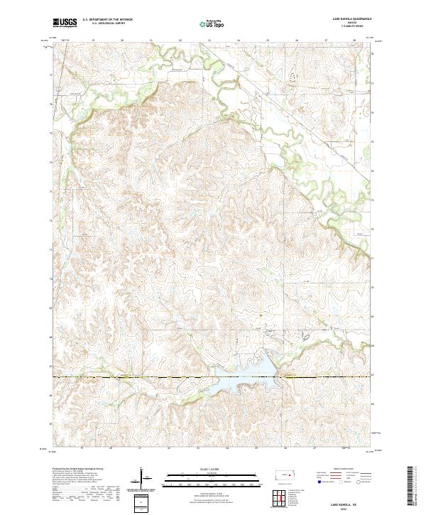
1972 Lake Kahola
Morris County, KS
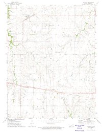
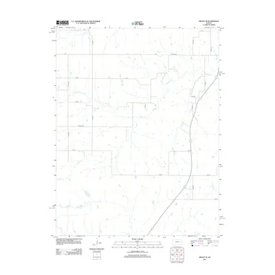
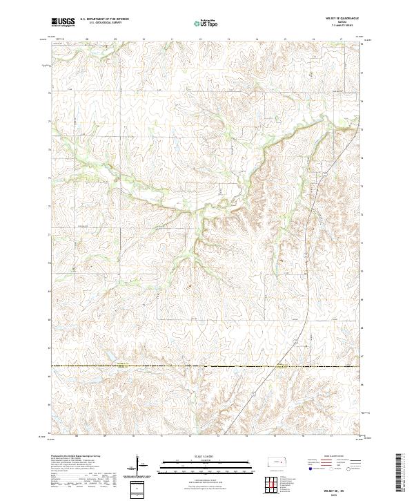
1972 Wilsey SE
Morris County, KS
2009 Council Grove Lake
Morris County, KS
2009 Delavan
Morris County, KS
2009 Diamond Springs
Morris County, KS
2009 Skiddy
Morris County, KS
2010 Lake Kahola
Morris County, KS
2010 Wilsey SE
Morris County, KS
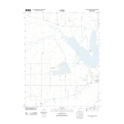
2012 Council Grove Lake
Morris County, KS
2012 Delavan
Morris County, KS
2012 Diamond Springs
Morris County, KS
2012 Lake Kahola
Morris County, KS
2012 Skiddy
Morris County, KS
2012 Wilsey SE
Morris County, KS
2015 Council Grove Lake
Morris County, KS
2015 Delavan
Morris County, KS
2015 Diamond Springs
Morris County, KS
2015 Lake Kahola
Morris County, KS
2015 Skiddy
Morris County, KS
2015 Wilsey SE
Morris County, KS
2018 Council Grove Lake
Morris County, KS
2018 Delavan
Morris County, KS
2018 Diamond Springs
Morris County, KS
2018 Lake Kahola
Morris County, KS
2018 Skiddy
Morris County, KS
2018 Wilsey SE
Morris County, KS
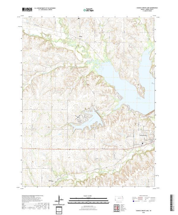
2022 Council Grove Lake
Morris County, KS
2022 Delavan
Morris County, KS
2022 Diamond Springs
Morris County, KS
2022 Lake Kahola
Morris County, KS
2022 Skiddy
Morris County, KS
2022 Wilsey SE
Morris County, KS