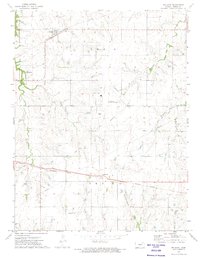
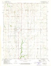
1972 Map of Delavan
USGS Topo · Published 1974About this map
The agricultural landscape of Morris County is defined here by the strategic paths of mid-century railroads. The Chicago Rock Island and Pacific cuts across the northern landscape through Latimer, while the Missouri Pacific anchors the southern half near the settlement of Delavan. These rail corridors, along with an Old RR Grade in the southwest, illustrate the historic reliance on rail transport for moving grain and goods from the Kansas prairie.
Find a feature on this map
18 named features on this map. Tap any name to fly to it.
Don’t see what you’re looking for? This feature index may not catch every label — zoom into the map to look around manually.
Map Details
Editions of this 1972 Delavan Map
This is the sole edition of this map. No revisions or reprints were ever made.
Other maps of this area

1889 · Parkerville
USGS Topo · 1:125,000

1894 · Parkerville
USGS Topo · 1:125,000

1955 · Hutchinson
USGS Topo · 1:250,000

1959 · Hutchinson
USGS Topo · 1:250,000

1964 · Skiddy
USGS Topo · 1:24,000
1964 · Woodbine
USGS Topo · 1:24,000
1971 · White City
USGS Topo · 1:24,000

1972 · Wilsey
USGS Topo · 1:24,000
1972 · Burdick
USGS Topo · 1:24,000
1972 · Lost Springs
USGS Topo · 1:24,000