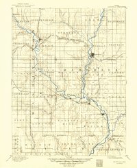
1889 Map of Marysville
USGS Topo · Published 1889About this map
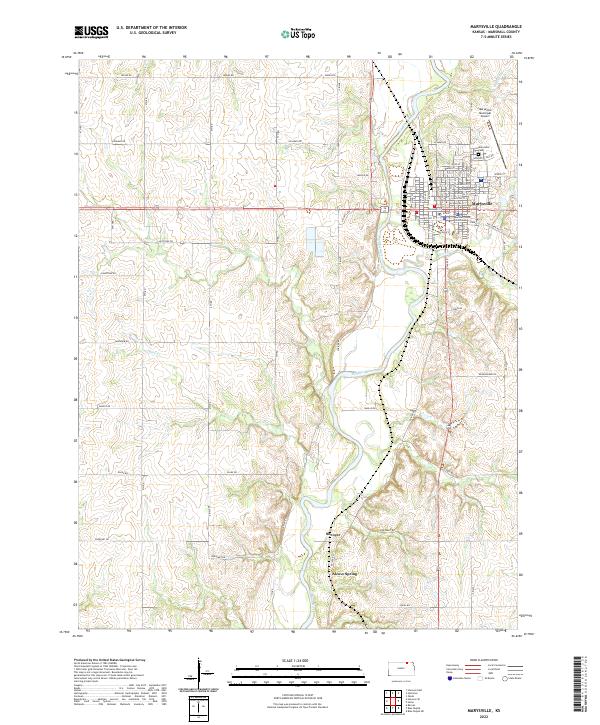
Marysville serves as the central hub for a complex network of 1880s rail lines and river valleys in Marshall County. The confluence of the Little Blue River and several major railroads, including the Missouri Pacific Railroad and the St Joseph and Western Railroad, defines the commercial geography of the era. Smaller settlements such as Blue Rapids, Waterville, and Irving are situated along these vital transit corridors, illustrating the rapid expansion of commerce across the Kansas prairie. To the north, Oketo sits near the state border, while Hanover anchors the western portion of the region. The landscape is deeply carved by numerous drainages like Horseshoe Creek and the Black Vermillion River, which provided the necessary water resources for the early townships and agricultural ventures established during this formative period of Kansas history.
Find a feature on this map
61 named features on this map. Tap any name to fly to it.
Don’t see what you’re looking for? This feature index may not catch every label — zoom into the map to look around manually.
Map Details
Editions of this 1889 Marysville Map
This is the sole edition of this map. No revisions or reprints were ever made.
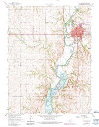
Historical Maps of Marysville Through Time
8 maps found