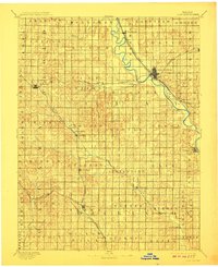
1891 Map of Clay Center
USGS Topo · Published 1908About this map
Republican River meanders through the heart of this landscape, serving as a corridor for the growing town of Clay Center during the late nineteenth century. The map reveals an area defined by a rigorous grid of townships such as Bloom, Exeter, and Fragrant Hill, illustrating the organized expansion of Kansas homesteads. Heavy rail infrastructure dominates the local economy, with the Chicago Rock Island and Pacific Railway and the Union Pacific Railroad intersecting at the county seat, while the Atchison Topeka and Santa Fe Railroad skirts the southern reaches through Manchester. Small rural hubs like Sutphen Mills and Industry are clearly marked along the creek beds, providing essential points of interest for genealogists tracing family locations before the modern consolidation of these agricultural communities. The terrain is marked by the drainage basins of Millers Creek and Chapman Creek, which dictated early settlement patterns.
Find a feature on this map
52 named features on this map. Tap any name to fly to it.
Don’t see what you’re looking for? This feature index may not catch every label — zoom into the map to look around manually.
Map Details
Editions of this 1891 Clay Center Map
5 editions found
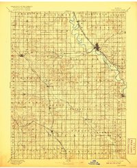
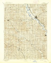
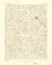
Other maps of this area

1886 · Junction City
USGS Topo · 1:125,000

1889 · Marysville
USGS Topo · 1:125,000

1889 · Junction City
USGS Topo · 1:125,000

1889 · Abilene
USGS Topo · 1:125,000

1889 · Parkerville
USGS Topo · 1:125,000

1891 · Clay Center
USGS Topo · 1:125,000

1892 · Concordia
USGS Topo · 1:125,000

1892 · Salina
USGS Topo · 1:125,000

1892 · Minneapolis
USGS Topo · 1:125,000

1893 · Washington
USGS Topo · 1:125,000