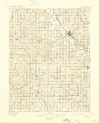
1891 Map of Clay Center
USGS Topo · Published 1945About this map
The Republican River winds through the heart of north-central Kansas, providing the primary geographic anchor for the burgeoning settlements of the 1890s. At the center of this network lies Clay Center, a critical rail hub where the Union Pacific Railway meets the Chicago Union Pacific and Gulf Railway. The landscape is methodically divided into townships such as Starr, Five Creeks, and Athelstane, reflecting the structured settlement of the late 19th-century prairie. Small rural centers like Oak Hill, Idana, and Morganville dot the grid, often positioned along the emerging rail lines that facilitated the region’s agricultural economy. Further south, the map captures the early development of Dickinson County, including the milling community of Sutphen Mills and the town of Manchester near the Atchison Topeka and Santa Fe Railroad.
Find a feature on this map
52 named features on this map. Tap any name to fly to it.
Don’t see what you’re looking for? This feature index may not catch every label — zoom into the map to look around manually.
Map Details
Editions of this 1891 Clay Center Map
5 editions found
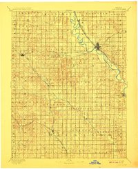
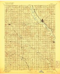
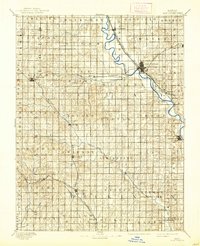
Other maps of this area

1886 · Junction City
USGS Topo · 1:125,000

1889 · Marysville
USGS Topo · 1:125,000

1889 · Junction City
USGS Topo · 1:125,000

1889 · Abilene
USGS Topo · 1:125,000

1889 · Parkerville
USGS Topo · 1:125,000

1891 · Clay Center
USGS Topo · 1:125,000

1892 · Concordia
USGS Topo · 1:125,000

1892 · Salina
USGS Topo · 1:125,000

1892 · Minneapolis
USGS Topo · 1:125,000

1893 · Washington
USGS Topo · 1:125,000