
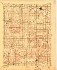
1894 Map of Beloit
USGS Topo · Published 1894About this map
Beloit and Lincoln serve as the primary hubs of this North Central Kansas survey, which captures a landscape defined by the winding courses of the Solomon River and the Saline River. The late-nineteenth-century geography shows a dense network of early settlements such as Glen Elder, Tipton, and Sylvan Grove, many established along the routes of the Missouri Pacific Railway and the Union Pacific Railway. A fascinating geological and cultural landmark, the Great Spirit Spring, appears near the northern fork of the Solomon, while the Rocky Hill Mill on Elkhorn Creek highlights the local grain economy of the era. The terrain transitions from the river valleys into the prominent Blue Hills, where smaller community outposts like Victor and Denmark illustrate the pioneer-era distribution of townships across Mitchell and Lincoln counties.
Find a feature on this map
89 named features on this map. Tap any name to fly to it.
Don’t see what you’re looking for? This feature index may not catch every label — zoom into the map to look around manually.
Map Details
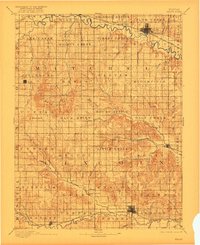
Editions of this 1894 Beloit Map
3 editions found
Other maps of this area

1892 · Concordia
USGS Topo · 1:125,000

1892 · Salina
USGS Topo · 1:125,000

1892 · Minneapolis
USGS Topo · 1:125,000

1893 · Smith Center
USGS Topo · 1:125,000

1894 · Ellsworth
USGS Topo · 1:125,000

1894 · Mankato
USGS Topo · 1:125,000

1896 · Osborne
USGS Topo · 1:125,000

1896 · Russell
USGS Topo · 1:125,000

1942 · Salina
USGS Topo · 1:125,000

1952 · Glasco SW
USGS Topo · 1:24,000