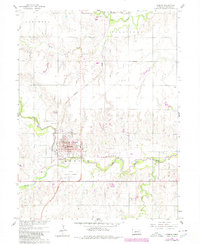
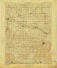
1898 Map of Hebron
USGS Topo · Published 1898About this map
The Little Blue River carves a winding path through the center of Thayer County, anchoring a landscape defined by late-nineteenth-century agricultural expansion and an intensive railroad network. Surveyed in 1894, this map illustrates the rapid development of the region, where numerous settlements like Hebron, Davenport, and Deshler grew along competing rail lines. The St. Joseph and Grand Island R. R. and the Chicago Rock Island and Pacific R. R. cross the territory, facilitating the movement of grain and goods. Beyond the primary towns, smaller communities such as Friedensau and Belvidere are clearly marked alongside township boundaries like Kiowa and Elk. The terrain is characterized by the drainage basins of Big Sandy Creek and Turkey Creek, showing the intricate township-and-range grid that organized the Nebraska-Kansas borderlands during this era of settlement.
Find a feature on this map
69 named features on this map. Tap any name to fly to it.
Don’t see what you’re looking for? This feature index may not catch every label — zoom into the map to look around manually.
Map Details
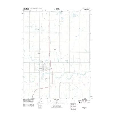
Editions of this 1898 Hebron Map
2 editions found
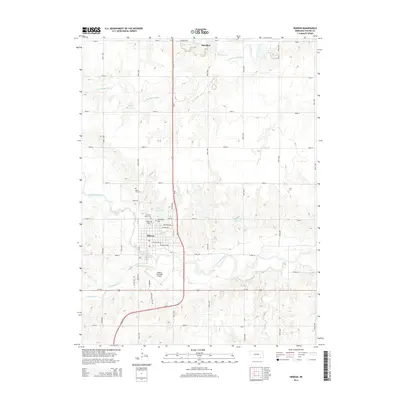
Historical Maps of Hebron Through Time
6 maps found