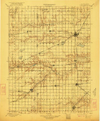
1899 Map of York
USGS Topo · Published 1922About this map
The Big Blue River and Beaver Creek wind through this agricultural landscape, anchoring a network of late-nineteenth-century prairie settlements. This survey reveals a region defined by its intense railroad development, where the Burlington and Missouri River R. R. and the Kansas City and Omaha R. R. intersect at strategic hubs like York and Fairmont. These rail lines were the lifeblood of the local economy, facilitating the growth of towns such as Sutton, Geneva, and Henderson.
Find a feature on this map
69 named features on this map. Tap any name to fly to it.
Don’t see what you’re looking for? This feature index may not catch every label — zoom into the map to look around manually.
Map Details
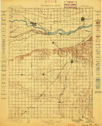
Editions of this 1899 York Map
This is the sole edition of this map. No revisions or reprints were ever made.
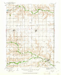
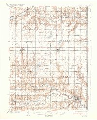
Other maps of this area

1896 · Stromsburg
USGS Topo · 1:125,000

1898 · York
USGS Topo · 1:125,000

1898 · Superior
USGS Topo · 1:125,000

1898 · Hebron
USGS Topo · 1:125,000

1898 · Grand Island
USGS Topo · 1:125,000
1899 · David City
USGS Topo · 1:125,000

1899 · St. Paul
USGS Topo · 1:125,000
1934 · Utica
USGS Topo · 1:62,500
1937 · Utica
USGS Topo · 1:62,500

1955 · Broken Bow
USGS Topo · 1:250,000