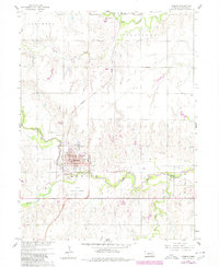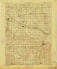
1898 Map of Hebron
USGS Topo · Published 1913About this map
Hebron serves as a focal point in this late 19th-century survey of south-central Nebraska, situated where the Little Blue River and Burlington and Missouri River R. R. intersect. The landscape is defined by an intricate network of expansion-era railroads, including the St. Joseph and Grand Island R. R. and the Chicago Rock Island and Pacific R. R., which connect burgeoning agricultural hubs like Davenport, Deshler, and Edgar. These rail lines follow the natural drainages of Big Sandy Creek and Elkhorn Creek, tracing the transition from the rolling prairie into organized townships.
Find a feature on this map
62 named features on this map. Tap any name to fly to it.
Don’t see what you’re looking for? This feature index may not catch every label — zoom into the map to look around manually.
Map Details
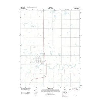
Editions of this 1898 Hebron Map
2 editions found

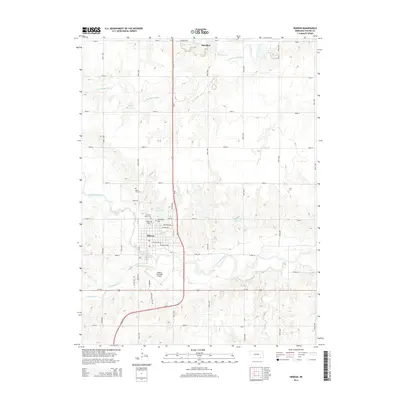
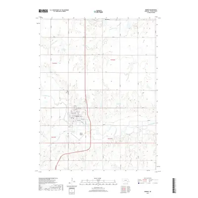
Historical Maps of Hebron Through Time
6 maps found