Old Maps of Buttermilk, Kansas for Metal Detecting
Plan your next treasure hunt with 10 historic maps of Buttermilk. Find old homesites, ghost towns, trails, and gathering spots that may be lost to time — perfect for identifying promising metal detecting locations.
- Locate forgotten sites: Uncover places like long-lost settlements, abandoned rail lines, or gathering spots.
- Plan better hunts: Use map overlays combined with LiDAR or satellite views to narrow in on historically rich areas.
- Made for detectorists: Thousands of hobbyists use these maps to discover relics, coins, and hidden history.
Use these historic maps to boost your research and find new opportunities beneath the surface of Buttermilk.
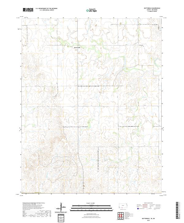
Buttermilk, KS maps
(10)- 1892 Map of Coldwater
 1892 Coldwater1892 Print · USGSComanche County during the late nineteenth-century settlement boom shows a network of emerging prairie towns and cattle-shipping rail lines. Genealogists can trace early homestead locations near Coldwater, Nescatunga, and along the banks of Mule Creek.5 unique versions available
 - 1955 Map of Pratt, 1968 Print
 1955 Pratt1968 Print · USGSSouth-central Kansas during the mid-fifties presents a landscape of sprawling oil fields and critical rail junctions. Researchers can trace the paths of the Atchison Topeka and Santa Fe railroad or locate local landmarks like the Blue Ridge Community House and Camp Carlisle.3 unique versions available
 - 1959 Map of Pratt
 1959 Pratt1959 Print · USGSSouth-central Kansas thrived as a rail and agricultural hub in the late fifties, where the Arkansas River meets a vast grid of section roads. Researchers can trace the path of the Missouri Pacific railroad through settlements like Turon and Stafford, or locate family landmarks like the Prairie Oak School.2 unique versions available
 - 1980 Map of Buttermilk
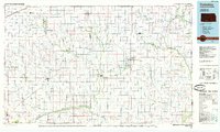
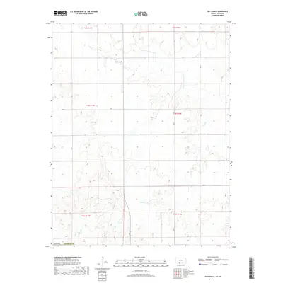
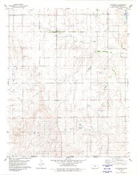 1980 Buttermilk1980 Print · USGSSouthern Kansas and the Oklahoma borderlands are mapped here in the late seventies, showing a landscape defined by ranching and historic lines. Genealogists and researchers can trace the Old Indian Treaty Boundary and find local landmarks like Antioch Ch and the settlement of Buttermilk.
 - 1985 Map of Protection
 1985 Protection1985 Print · USGSThe Kansas-Oklahoma borderlands in the 1980s are defined by agricultural settlements and historical survey lines. Genealogists and historians can trace the Old Indian Treaty Boundary and locate family names near Crown Hill Cem or the town of Protection.2 unique versions available
 - 2009 Map of Buttermilk, 2009 Print
 2009 Buttermilk2009 Print · USGSCovers Buttermilk, including Comanche County, Woods County, and other nearby areas
 - 2012 Map of Buttermilk, 2012 Print
 2012 Buttermilk2012 Print · USGSCovers Buttermilk, including Comanche County, Woods County, and other nearby areas
 - 2015 Map of Buttermilk, 2015 Print
 2015 Buttermilk2015 Print · USGSCovers Buttermilk, including Comanche County, Woods County, and other nearby areas
 - 2018 Map of Buttermilk, 2018 Print
 2018 Buttermilk2018 Print · USGSCovers Buttermilk, including Comanche County, Woods County, and other nearby areas
 - 2022 Map of Buttermilk, 2022 Print
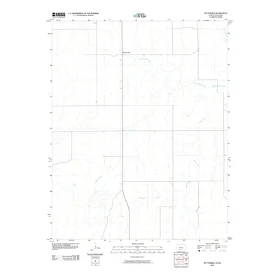
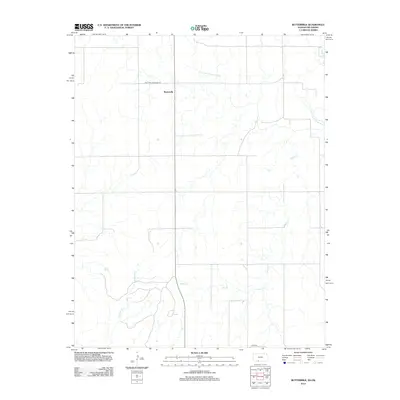
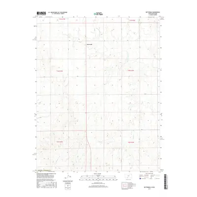
 2022 Buttermilk2022 Print · USGSIn the open ranch lands of south-central Kansas, the community of Buttermilk sits at the junction of a vast rural road grid. Trace the drainages of the Salt Fork Arkansas River and Sheele Cr to understand the local geography.
End of results
Showing maps 1-10 of 10
Top cities near Buttermilk
Frequently asked questions
- What are the different types of historical maps available for Buttermilk?
- What is the oldest map of Buttermilk?
- Where can I purchase historical maps of Buttermilk for my home or office?
- Where can I download high-res historical maps of Buttermilk?
- Are there historical topographic maps available for Buttermilk?
- Is there historical aerial imagery available for Buttermilk?
- Where are historical maps of Buttermilk sourced from?