2020s Maps of Grant County, Kansas
Explore 15 historic maps of Grant County from the 2020s. These maps offer a rare glimpse into what life looked like during the 2020s — showing old roads, neighborhoods, homes, and landmarks that have changed or disappeared over time.
Whether you're researching your family's past, planning a metal detecting trip, or studying how Grant County's landscape evolved across the 2020s, these high-resolution maps are a powerful tool for exploring the history of this region.
- Focus on a specific era: All maps on this page are from the 2020s, giving you a focused view of this time period.
- See what’s changed: Compare century-old streets, trails, and buildings to today's modern landscape using overlays and satellite layers.
- Research with precision: Use these maps for genealogy, historical research, land use analysis, or educational projects.
- View, download, or print: Maps are fully viewable online in high resolution, and can be downloaded or printed for your own records.
Start exploring Grant County's history through authentic maps from the 2020s. This is your window into the past.
Grant County, KS maps
(15)- 2022 Map of Shore Airport NE, 2022 Print
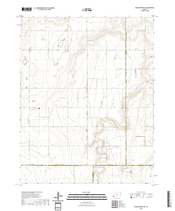 2022 Shore Airport NE2022 Print · USGSWestern Kansas at the intersection of Stanton, Morton, Grant, and Stevens counties shows a landscape defined by section lines and river valleys. Genealogists and local historians can locate the Liverpool Cem or trace the winding path of the N Fork Cimarron River.
 - 2022 Map of Hickok SE, 2022 Print
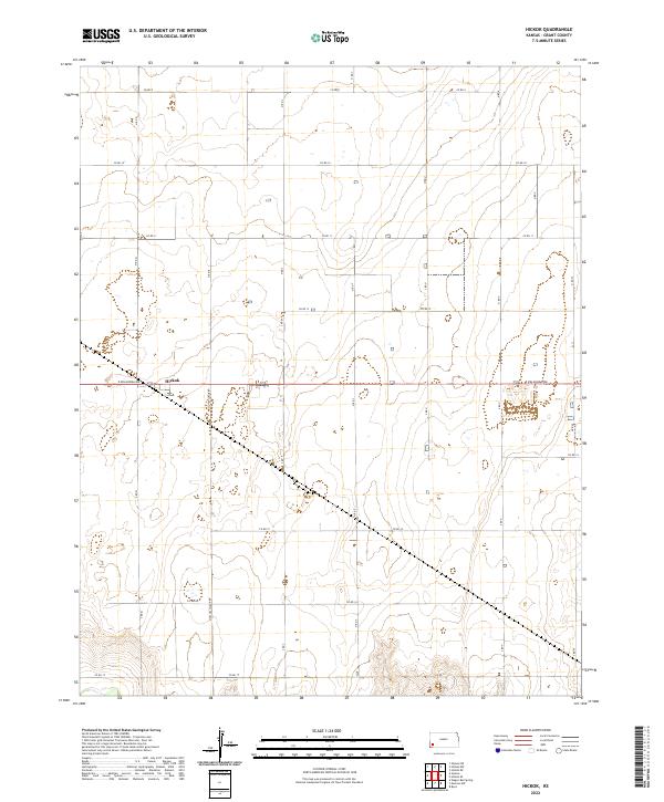
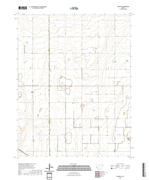 2022 Hickok SE2022 Print · USGSHaskell and Grant counties meet in this structured agricultural landscape during the early 2020s. Genealogists and local historians can locate Canaan Cem and trace the exact county boundary along the Co Rd AA corridor.
 - 2022 Map of Ulysses NE, 2022 Print
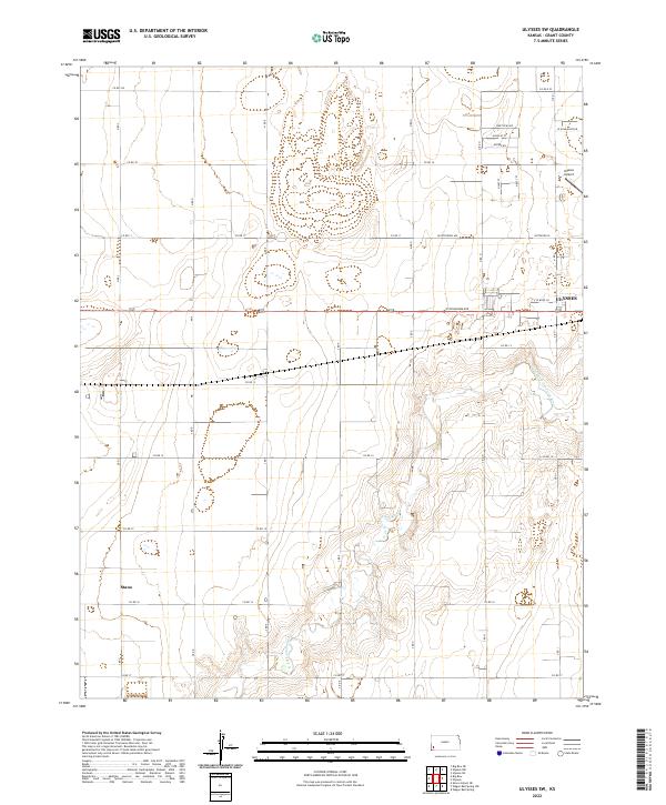
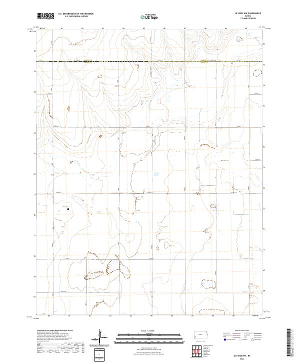
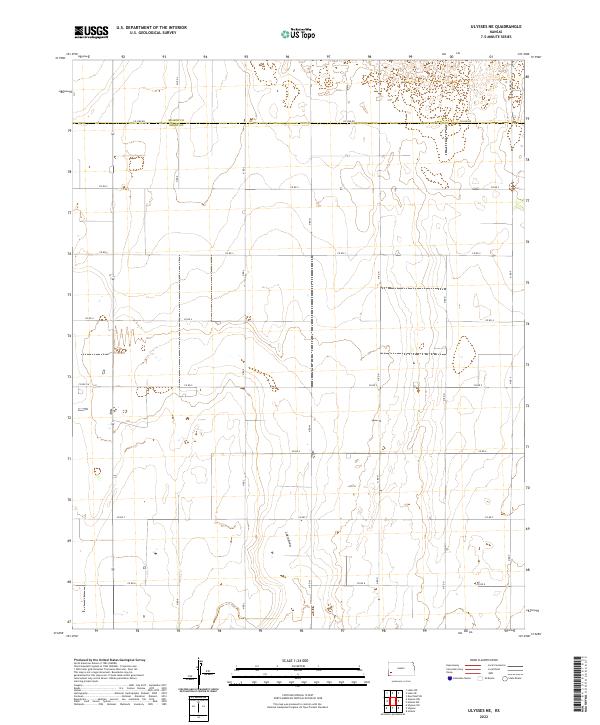 2022 Ulysses NE2022 Print · USGSWestern Kansas agricultural lands are captured here in the early twenty-first century, showing the intersection of the High Plains and the High Desert. Researchers can trace the drainage of Lakin Draw and locate early family land tracts near Lakin Ln and the Kearny Co line.
 - 2022 Map of Moscow NW, 2022 Print
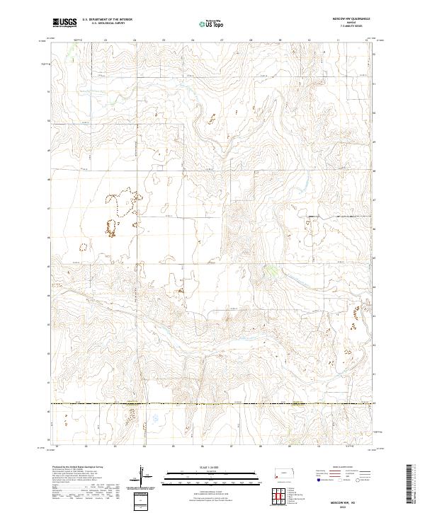 2022 Moscow NW2022 Print · USGSSouthwest Kansas appears here at the intersection of the high plains and the winding Cimarron River. Researchers can trace the section-line roads and drainage patterns across the Grant Co line, following routes like Moscow Hickok Rd and N Fork Cimarron River.
 - 2022 Map of Big Bow, 2022 Print
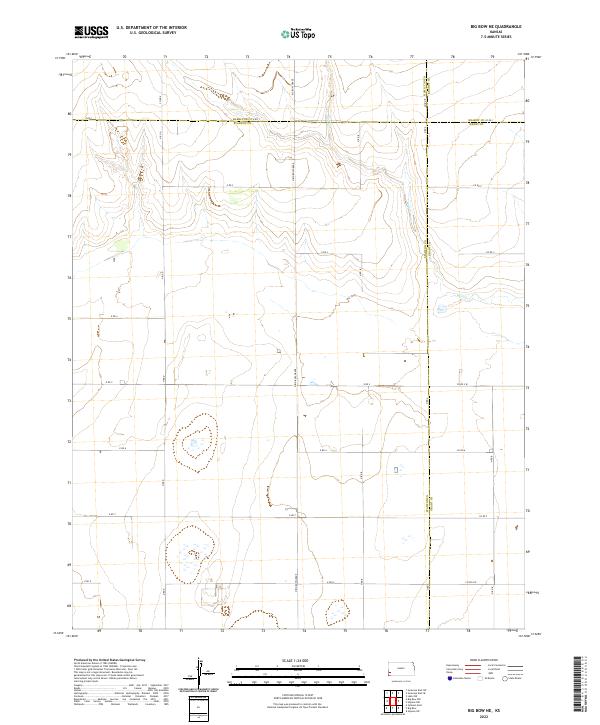
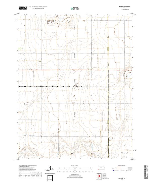 2022 Big Bow2022 Print · USGSThe High Plains of Southwest Kansas are mapped in detail during the early 2020s, showing the intersection of Stanton Co and Grant Co. Genealogists and local historians can trace rural property boundaries and access points near Big Bow and along the seasonal course of Sand Arroyo Cr.
 - 2022 Map of Ulysses SW, 2022 Print
 2022 Ulysses SW2022 Print · USGSGrant County in the early 2020s shows a landscape defined by the intersection of the N Fork Cimarron River and the rural road grid. Researchers can trace local landmarks like Stano, the residential streets of southwest Ulysses, and the Ulysses Airport.
 - 2022 Map of Hickok NE, 2022 Print
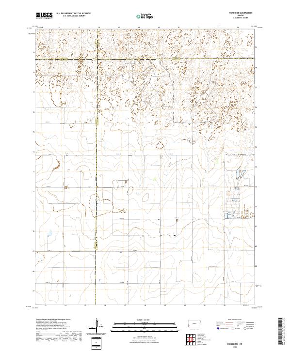 2022 Hickok NE2022 Print · USGSThe Western Kansas prairie is captured here in the early twenty-first century, showing the intersection of Haskell, Grant, Kearny, and Finney counties. Local researchers can trace the agricultural grid and county lines along Grant Co Haskell Co Line Rd and Rd Aa.
 - 2022 Map of Hickok NW, 2022 Print
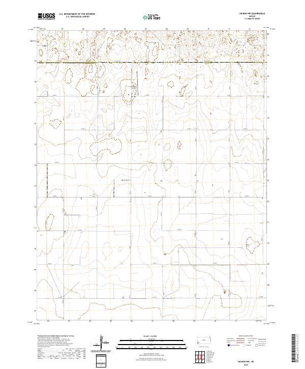 2022 Hickok NW2022 Print · USGSThe high plains of western Kansas in the early 2020s are captured here as a landscape of precision agriculture and aviation. Researchers can trace the section-line grid between Kearny Co and Grant Co or locate Tri Rotor Airport.
 - 2022 Map of Ulysses NW, 2022 Print
 2022 Ulysses NW2022 Print · USGSThe western Kansas plains along the Kearny Co Grant Co line are captured here in the early twenty-first century. Genealogists and local historians can locate the Shockey Cem and trace the drainage of Wolf Cr among a grid of sectional roads.
 - 2022 Map of Wagon Bed Spring, 2022 Print
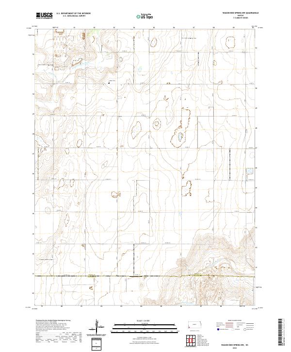
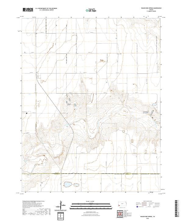 2022 Wagon Bed Spring2022 Print · USGSThe High Plains of Southwest Kansas come into focus here, showing the intersection of historical prairie trails and modern section lines. Genealogists and historians can trace the Zionville Cem and the legendary Wagon Bed Spring along the Cimarron River.
 - 2022 Map of Ulysses, 2022 Print
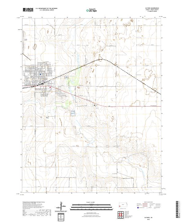 2022 Ulysses2022 Print · USGSUlysses serves as a vital Grant County hub in the modern era, showing the town's expansion across the High Plains. Genealogists and researchers can locate the Grant County Courthouse, Ulysses Cem, and the path of the N Fork Cimarron River.
 - 2022 Map of Big Bow NE, 2022 Print
 2022 Big Bow NE2022 Print · USGSThe Western Kansas high plains at the meeting point of four counties are captured here in the early 2020s. Genealogists and land researchers can trace property boundaries along Big Bow Grade and follow the seasonal course of Wolf Cr.
 - 2022 Map of Hickok, 2022 Print
 2022 Hickok2022 Print · USGSGrant County agricultural lands appear in detail during the early 2020s, centered on the rural crossroads of the High Plains. Trace property lines and local infrastructure through the settlement of Hickok and along Moscow-Hickok Rd or E Oklahoma Ave.
 - 2022 Map of Wagon Bed Spring NW, 2022 Print
 2022 Wagon Bed Spring NW2022 Print · USGSGrant and Stevens counties meet in this corner of the Kansas plains during the early twenty-first century. Genealogists and historians can locate the Golden Cem and trace the ancient drainage patterns of the Cimarron River and Sand Arroyo Cr.
 - 2022 Map of Ryus, 2022 Print
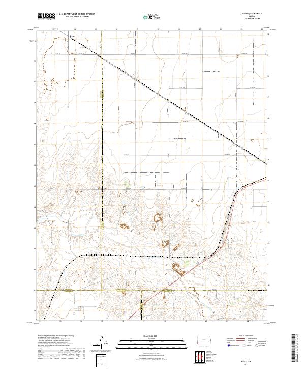 2022 Ryus2022 Print · USGSHigh Plains agriculture and river topography meet in southwestern Kansas in the early twenty-first century. Researchers can trace the section-line road network around Ryus and follow the winding path of the Cimarron River across four county lines.
End of results
Showing maps 1-15 of 15
Frequently asked questions
- What are the different types of historical maps available for Grant County?
- What is the oldest map of Grant County?
- Where can I purchase historical maps of Grant County for my home or office?
- Where can I download high-res historical maps of Grant County?
- Are there historical topographic maps available for Grant County?
- Is there historical aerial imagery available for Grant County?
- Where are historical maps of Grant County sourced from?