Old Maps of Burkett, Kansas for Metal Detecting
Plan your next treasure hunt with 11 historic maps of Burkett. Find old homesites, ghost towns, trails, and gathering spots that may be lost to time — perfect for identifying promising metal detecting locations.
- Locate forgotten sites: Uncover places like long-lost settlements, abandoned rail lines, or gathering spots.
- Plan better hunts: Use map overlays combined with LiDAR or satellite views to narrow in on historically rich areas.
- Made for detectorists: Thousands of hobbyists use these maps to discover relics, coins, and hidden history.
Use these historic maps to boost your research and find new opportunities beneath the surface of Burkett.
Burkett, KS maps
(11)- 1888 Map of Emporia
 1888 Emporia1888 Print · USGSLyon County and the surrounding Flint Hills region are shown during the late nineteenth-century railroad boom. You can trace the path of the Atchison Topeka and Santa Fe Railroad through early settlements like Plymouth, Olpe, and Madison.
 - 1894 Map of Emporia
 1894 Emporia1894 Print · USGSThe rail and river junction at Emporia is captured here during a period of rapid prairie development. Researchers can trace early settlements and family lands near Lena Valley, Olpe, and the Neosho River riverbanks.7 unique versions available
 - 1955 Map of Hutchinson, 1967 Print
 1955 Hutchinson1967 Print · USGSCentral Kansas in the mid-sixties reveals a landscape of growing reservoirs and evolving transportation corridors. Trace the development of towns like Hutchinson and Abilene alongside the Union Pacific Railroad and the expanding Interstate 70.3 unique versions available
 - 1959 Map of Hutchinson
 1959 Hutchinson1959 Print · USGSCentral Kansas thrives at the intersection of rail and river in the mid-1950s, as post-war aviation infrastructure reshapes the prairie. Genealogists and historians can trace the paths of the AT&SF RR through Newton and Hutchinson, or locate military sites like Smoky Hill Air Force Base.2 unique versions available
 - 1967 Map of Thrall, 1968 Print
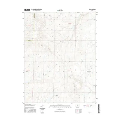
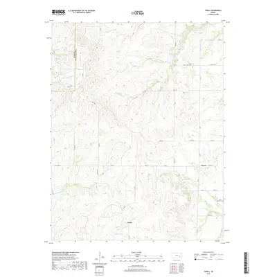
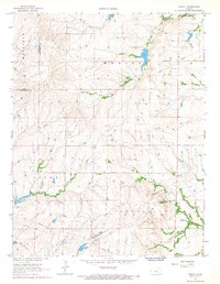 1967 Thrall1968 Print · USGSIn the late 1960s, the Greenwood County landscape was a patchwork of agricultural townships and active petroleum production. Researchers can trace the legacy of the local oil industry through the Thrall Aagard Oil Field and find family sites like Andrew Cem or the Prairie Chapel Cem.
 - 1985 Map of Emporia
 1985 Emporia1985 Print · USGSThe Flint Hills of central Kansas appear in high detail during the 1980s, centering on the convergence of the Cottonwood and Neosho rivers. Researchers can trace the Old Indian Treaty Boundary or locate prairie outposts like Matfield Green, Saffordville, and Bazaar.2 unique versions available
 - 2009 Map of Thrall, 2009 Print
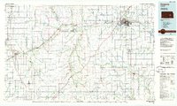
 2009 Thrall2009 Print · USGSCovers Burkett, including Thrall, Greenwood County, and other nearby areas
 - 2012 Map of Thrall, 2012 Print
 2012 Thrall2012 Print · USGSCovers Burkett, including Thrall, Greenwood County, and other nearby areas
 - 2015 Map of Thrall, 2015 Print
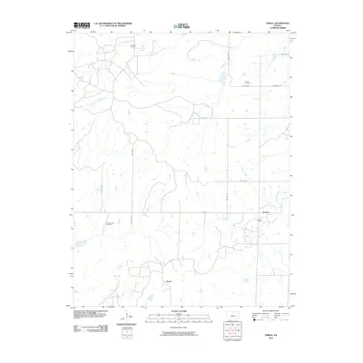
 2015 Thrall2015 Print · USGSCovers Burkett, including Thrall, Greenwood County, and other nearby areas
 - 2018 Map of Thrall, 2018 Print
 2018 Thrall2018 Print · USGSCovers Burkett, including Thrall, Greenwood County, and other nearby areas
 - 2022 Map of Thrall, 2022 Print
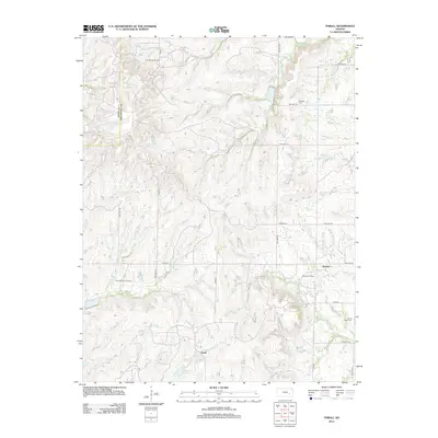
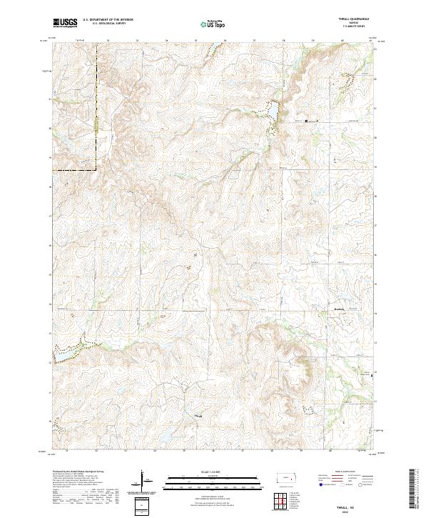 2022 Thrall2022 Print · USGSGreenwood County ranching country is documented here in the early twenty-first century, showing the rural crossroads of Thrall and Burkett. Researchers can locate family burial sites at Andrew Cem or trace the winding course of the N Br Verdigris River.
End of results
Showing maps 1-11 of 11
Top cities near Burkett
Frequently asked questions
- What are the different types of historical maps available for Burkett?
- What is the oldest map of Burkett?
- Where can I purchase historical maps of Burkett for my home or office?
- Where can I download high-res historical maps of Burkett?
- Are there historical topographic maps available for Burkett?
- Is there historical aerial imagery available for Burkett?
- Where are historical maps of Burkett sourced from?