2000s (21st Century) Maps of Jefferson County, Kansas
Explore 80 historic maps of Jefferson County from the 2000s (21st Century). These maps offer a rare glimpse into what life looked like during the 2000s — showing old roads, neighborhoods, homes, and landmarks that have changed or disappeared over time.
Whether you're researching your family's past, planning a metal detecting trip, or studying how Jefferson County's landscape evolved across the 2000s, these high-resolution maps are a powerful tool for exploring the history of this region.
- Focus on a specific era: All maps on this page are from the 2000s, giving you a focused view of this time period.
- See what’s changed: Compare century-old streets, trails, and buildings to today's modern landscape using overlays and satellite layers.
- Research with precision: Use these maps for genealogy, historical research, land use analysis, or educational projects.
- View, download, or print: Maps are fully viewable online in high resolution, and can be downloaded or printed for your own records.
Start exploring Jefferson County's history through authentic maps from the 2000s. This is your window into the past.
Jefferson County, KS maps
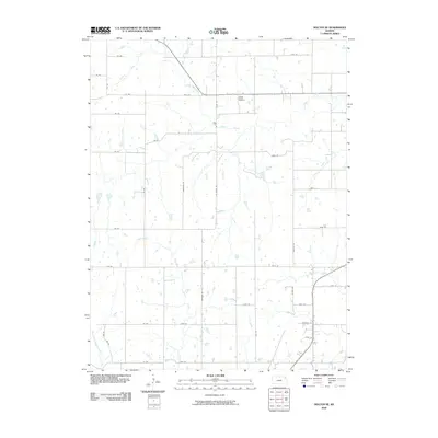
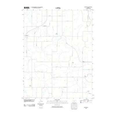
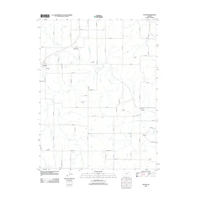
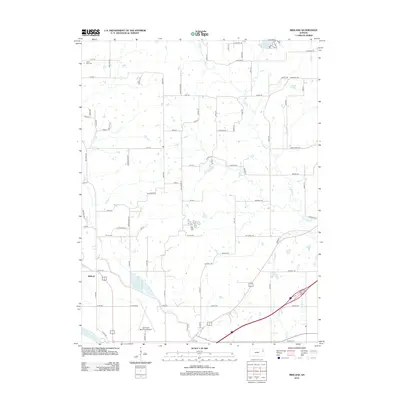
(80)- 2009 Map of Easton SW, 2009 Print
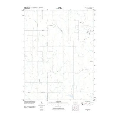 2009 Easton SW2009 Print · USGSCovers Jefferson County, including Leavenworth County, United States, and other nearby areas
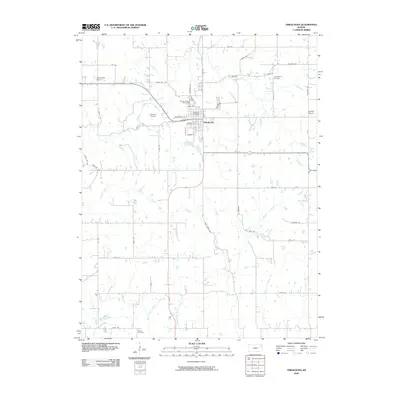
 - 2009 Map of Nortonville, 2009 Print
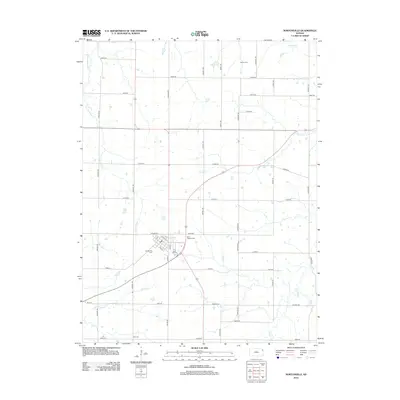
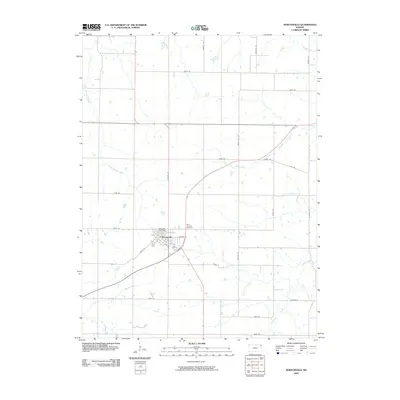 2009 Nortonville2009 Print · USGSCovers Jefferson County, including Nortonville, Center Township, and other nearby areas
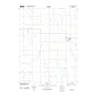
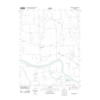
 - 2009 Map of Williamstown, 2009 Print
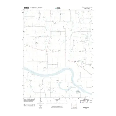 2009 Williamstown2009 Print · USGSCovers Jefferson County, including Lawrence, Kanwaka Township, and other nearby areas
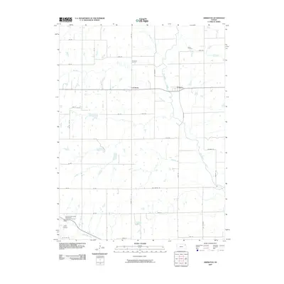
 - 2009 Map of Holton SE, 2009 Print
 2009 Holton SE2009 Print · USGSCovers Jefferson County, including Jackson County, United States, and other nearby areas
 - 2009 Map of Potter, 2009 Print
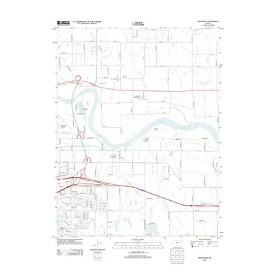
 2009 Potter2009 Print · USGSCovers Jefferson County, including Cummings, Mount Pleasant Township, and other nearby areas
 - 2009 Map of Oskaloosa, 2009 Print
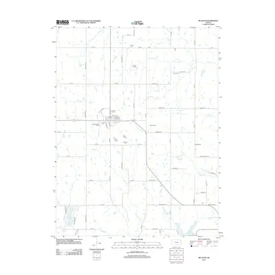
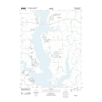
 2009 Oskaloosa2009 Print · USGSCovers Jefferson County, including Oskaloosa, United States, and other nearby areas
 - 2009 Map of Winchester, 2009 Print
 2009 Winchester2009 Print · USGSCovers Jefferson County, including Winchester, Boyle, and other nearby areas
 - 2009 Map of Arrington, 2009 Print
 2009 Arrington2009 Print · USGSCovers Jefferson County, including Larkinburg, Kapioma Township, and other nearby areas
 - 2009 Map of Grantville, 2009 Print
 2009 Grantville2009 Print · USGSCovers Jefferson County, including Topeka, Kanwaka Township, and other nearby areas
 - 2009 Map of Meriden, 2009 Print
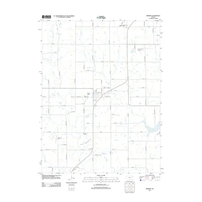
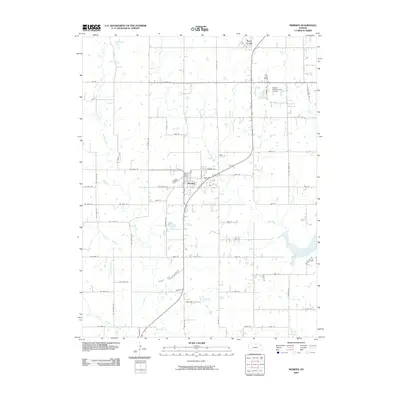 2009 Meriden2009 Print · USGSCovers Jefferson County, including Rock Creek, Meriden, and other nearby areas
 - 2009 Map of Valley Falls, 2009 Print
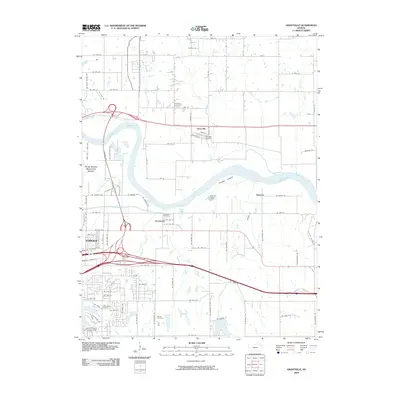
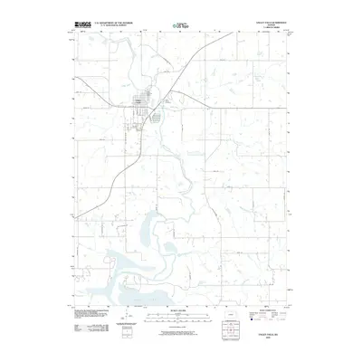 2009 Valley Falls2009 Print · USGSCovers Jefferson County, including Valley Falls, United States, and other nearby areas
 - 2009 Map of Perry, 2009 Print
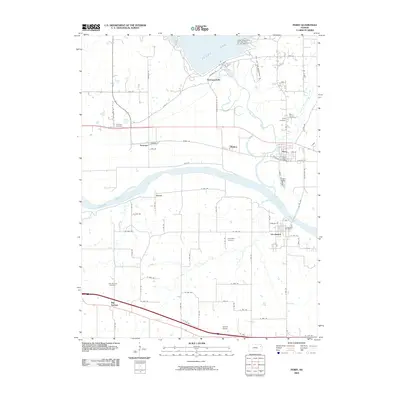 2009 Perry2009 Print · USGSCovers Jefferson County, including Kanwaka Township, Perry, and other nearby areas
 - 2009 Map of Half Mound, 2009 Print
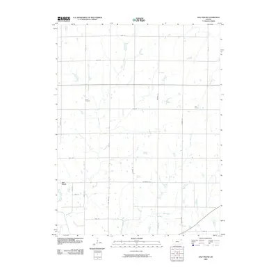 2009 Half Mound2009 Print · USGSCovers Jefferson County, including Half Mound, Kapioma Township, and other nearby areas
 - 2010 Map of Midland, 2010 Print
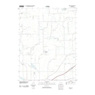 2010 Midland2010 Print · USGSCovers Jefferson County, including Lawrence, Midland, and other nearby areas
 - 2010 Map of Ozawkie, 2010 Print
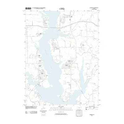 2010 Ozawkie2010 Print · USGSCovers Jefferson County, including Ozawkie, Indian Ridge, and other nearby areas
 - 2010 Map of McLouth, 2010 Print
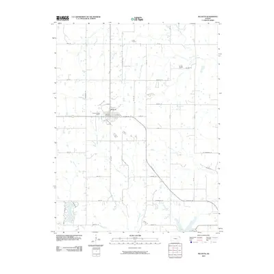 2010 McLouth2010 Print · USGSCovers Jefferson County, including McLouth, Leavenworth County, and other nearby areas
 - 2012 Map of Potter, 2012 Print
 2012 Potter2012 Print · USGSCovers Jefferson County, including Cummings, Mount Pleasant Township, and other nearby areas
 - 2012 Map of Williamstown, 2012 Print
 2012 Williamstown2012 Print · USGSCovers Jefferson County, including Lawrence, Kanwaka Township, and other nearby areas
 - 2012 Map of Grantville, 2012 Print
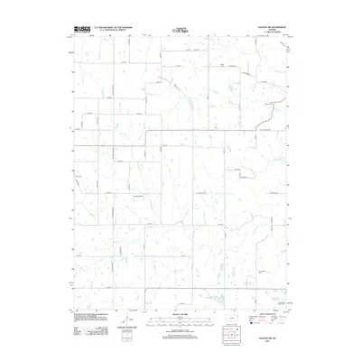
 2012 Grantville2012 Print · USGSCovers Jefferson County, including Topeka, Kanwaka Township, and other nearby areas
 - 2012 Map of McLouth, 2012 Print
 2012 McLouth2012 Print · USGSCovers Jefferson County, including McLouth, Leavenworth County, and other nearby areas
 - 2012 Map of Midland, 2012 Print
 2012 Midland2012 Print · USGSCovers Jefferson County, including Lawrence, Midland, and other nearby areas
 - 2012 Map of Ozawkie, 2012 Print
 2012 Ozawkie2012 Print · USGSCovers Jefferson County, including Ozawkie, Indian Ridge, and other nearby areas
 - 2012 Map of Meriden, 2012 Print
 2012 Meriden2012 Print · USGSCovers Jefferson County, including Rock Creek, Meriden, and other nearby areas
 - 2012 Map of Easton SW, 2012 Print
 2012 Easton SW2012 Print · USGSCovers Jefferson County, including Leavenworth County, United States, and other nearby areas
 - 2012 Map of Nortonville, 2012 Print
 2012 Nortonville2012 Print · USGSCovers Jefferson County, including Nortonville, Center Township, and other nearby areas
Showing maps 1-25 of 80
Top cities of Jefferson County
- Rock Creek historical maps
- Valley Falls historical maps
- Oskaloosa historical maps
- Perry historical maps
- McLouth historical maps
- Meriden historical maps
See more
Frequently asked questions
- What are the different types of historical maps available for Jefferson County?
- What is the oldest map of Jefferson County?
- Where can I purchase historical maps of Jefferson County for my home or office?
- Where can I download high-res historical maps of Jefferson County?
- Are there historical topographic maps available for Jefferson County?
- Is there historical aerial imagery available for Jefferson County?
- Where are historical maps of Jefferson County sourced from?