Old Maps of Valeda, Kansas for Hiking & Exploration
Hike through history with 17 historic maps of Valeda. Explore old trails, ghost towns, and forgotten backroads — perfect for outdoor adventurers and local explorers.
- Rediscover forgotten places: Map out old mining camps, roads, and footpaths that no longer exist on modern maps.
- Layer with modern tools: Combine with LiDAR or satellite views to plan hikes through historical terrain.
- Made for exploration: Popular among hikers, overlanders, and local history lovers.
Use these maps to find adventure and explore the hidden past of Valeda.
Valeda, KS maps
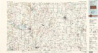
(17)- 1886 Map of Parsons
 1886 Parsons1886 Print · USGSSoutheast Kansas at the height of the railroad boom is anchored here by the growing hub of Parsons. Genealogists and historians can trace the early townships and rail sidings that shaped Labette County, from Oswego and Chetopa to rural stops like Ladore and Altamont.
 - 1893 Map of Parsons
 1893 Parsons1893 Print · USGSSoutheastern Kansas was a booming rail center in the late nineteenth century, dominated by the rise of Parsons. Genealogists can trace family connections through early settlements like Ladore, Mound Valley, and Altamont or along the Little Labette Creek drainage.4 unique versions available
 - 1946 Map of Mound Valley, 1965 Print
 1946 Mound Valley1965 Print · USGSLabette County's rural townships are documented here just after the war, showing a landscape defined by small-town rail junctions and an abundance of country schools. Genealogists can locate family landmarks like Hopewell Cem, Union Ch, and dozens of rural schools from Blackford Sch to Hiatt Sch.
 - 1947 Map of Joplin, 1954 Print
 1947 Joplin1954 Print · USGSThe borderlands of Missouri, Kansas, and Oklahoma are shown here during the late 1940s, a period of heavy industrial and military activity. Researchers can trace the extensive Tri-State Mining District, the layout of Camp Crowder, and local landmarks like Mount Hope Cem.
 - 1948 Map of Mound Valley
 1948 Mound Valley1948 Print · USGSLabette County underwent a period of stable agrarian growth in the late 1940s, anchored by bustling rail towns and a grid of rural schoolhouses. Genealogists can locate family landmarks like Hopewell Cem, the U S Auxiliary Landing Field, and the M K T railroad line.2 unique versions available
 - 1949 Map of Joplin
 1949 Joplin1949 Print · USGSThe Kansas-Missouri borderlands thrive in the late 1940s, showing a robust network of railroad towns and river valleys. Researchers can trace historic rail lines like the Missouri Pacific RR and locate rural centers such as Chanute, Iola, and Fort Scott.
 - 1954 Map of Joplin, 1967 Print
 1954 Joplin1967 Print · USGSThe tri-state border region of Kansas, Missouri, and Oklahoma is captured here during a peak era of mid-century industrial and agricultural activity. Researchers can trace family history through dozens of rural cemeteries or locate landmarks like the Kansas Army Ammunition Plant and Pittsburg State University.3 unique versions available
 - 1958 Map of Joplin
 1958 Joplin1958 Print · USGSThe tri-state border region of Missouri, Kansas, and Oklahoma is shown during the late fifties, a time of heavy rail traffic and mining activity. Local historians can trace the industrial landscape through the Joplin & Pittsburg Ry or locate family sites like Zion Ch and Bender Mounds.
 - 1959 Map of Joplin
 1959 Joplin1959 Print · USGSThe Tri-State region’s mining and rail-driven economy is on full display in the late fifties. Genealogists can locate Lead and Zinc Mines near Joplin, family markers at Oak Hill Cem, and military history at Camp Clark.
 - 1974 Map of Valeda, 1976 Print
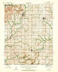
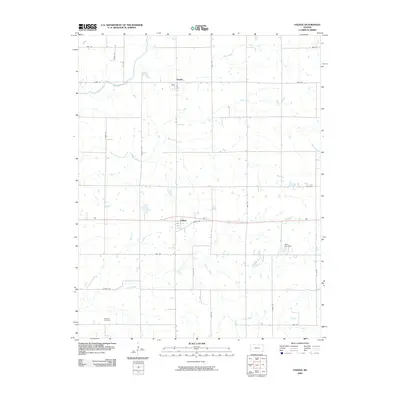
 1974 Valeda1976 Print · USGSSouthern Kansas townships in the mid-1970s reveal a landscape shaped by competing rail lines and early territorial markers. Trace the legacy of family homesteads near Angola and Valeda, or locate ancestors at Leib Cem and Roberts Cem.
 - 1985 Map of Coffeyville
 1985 Coffeyville1985 Print · USGSSoutheast Kansas in the mid-eighties shows a landscape of river-valley agriculture and heavy industry anchored by the rail hubs of Independence and Coffeyville. Genealogists and historians can trace rail lines like the Missouri Kansas Texas RR and locate sites like Fairview Cemetery or the Kansas Army Ammunition Plant.
 - 1990 Map of Coffeyville
 1990 Coffeyville1990 Print · USGSSoutheast Kansas in the late twentieth century is defined by its industrial sites and river valley rail hubs. Genealogists and historians can trace the infrastructure of the Army Ammunition Plant, the local graves at Fairview Cemetery, and the extensive Strip Mine operations.
 - 2009 Map of Valeda, 2009 Print
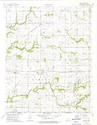
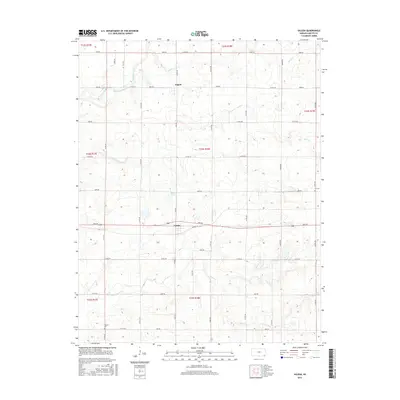
 2009 Valeda2009 Print · USGSCovers Valeda, including Angola, Labette County, and other nearby areas
 - 2012 Map of Valeda, 2012 Print
 2012 Valeda2012 Print · USGSCovers Valeda, including Angola, Labette County, and other nearby areas
 - 2015 Map of Valeda, 2015 Print
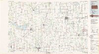
 2015 Valeda2015 Print · USGSCovers Valeda, including Angola, Labette County, and other nearby areas
 - 2018 Map of Valeda, 2018 Print
 2018 Valeda2018 Print · USGSCovers Valeda, including Angola, Labette County, and other nearby areas
 - 2022 Map of Valeda, 2022 Print
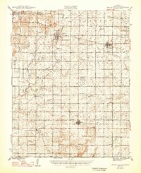
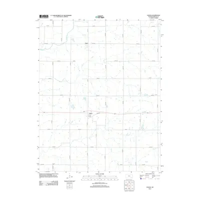
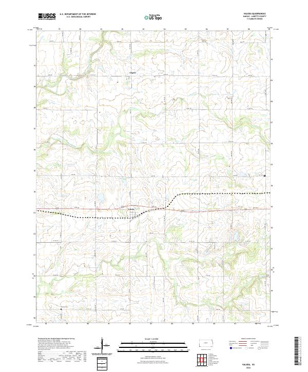 2022 Valeda2022 Print · USGSLabette County's southern agricultural reaches are captured here in the early 2020s, showcasing a landscape of section lines and prairie creeks. Genealogists and local historians can trace family locations near Valeda, Angola, and the grounds of Roberts Cem or Lei Cem.
End of results
Showing maps 1-17 of 17
Top cities near Valeda
- Coffeyville historical maps
- Cherryvale historical maps
- Altamont historical maps
- South Coffeyville historical maps
- Edna historical maps
- Mound Valley historical maps
See more
Frequently asked questions
- What are the different types of historical maps available for Valeda?
- What is the oldest map of Valeda?
- Where can I purchase historical maps of Valeda for my home or office?
- Where can I download high-res historical maps of Valeda?
- Are there historical topographic maps available for Valeda?
- Is there historical aerial imagery available for Valeda?
- Where are historical maps of Valeda sourced from?