Old Maps of Lehigh, Kansas
Explore 17 old maps of Lehigh, spanning from 1889 to today. These high-resolution historic maps reveal how streets, neighborhoods, landmarks, and natural features evolved over time — perfect for genealogy, metal detecting, research, and local history exploration.
What you can do with these maps:
- See how Lehigh changed over time: Compare historical maps to modern-day views to trace roads, homesites, rail lines & more.
- View detailed metadata: Each map includes creators, publishers, year, scale, and archive source.
- Overlay maps with satellite & LiDAR: Visualize the past alongside modern tools to explore terrain & human change.
- Trusted historical sources: Maps sourced from the USGS, Library of Congress, and other archives.
- Access maps your way: View online, download high-res files, or order prints for personal or research use.
Start exploring old maps of Lehigh to uncover forgotten places, hidden landmarks, and the deep history beneath your feet.
Lehigh, KS maps
(17)- 1889 Map of Newton
 1889 Newton1889 Print · USGSRailroad expansion defines this Kansas landscape in the late 1880s, centered on the growing hubs of Newton and Marion. Genealogists and historians can trace the early grids of towns like Peabody, Hillsboro, and Lehigh as they appeared at their founding.
 - 1894 Map of Newton
 1894 Newton1894 Print · USGSCentral Kansas was undergoing a rapid transformation into a rail-driven agricultural hub during the 1890s. Genealogists and historians can trace the early growth of Newton, Marion, and Peabody alongside branching rail lines and the winding COTTONWOOD RIVER.5 unique versions available
 - 1955 Map of Hutchinson, 1967 Print
 1955 Hutchinson1967 Print · USGSCentral Kansas in the mid-sixties reveals a landscape of growing reservoirs and evolving transportation corridors. Trace the development of towns like Hutchinson and Abilene alongside the Union Pacific Railroad and the expanding Interstate 70.3 unique versions available
 - 1959 Map of Hutchinson
 1959 Hutchinson1959 Print · USGSCentral Kansas thrives at the intersection of rail and river in the mid-1950s, as post-war aviation infrastructure reshapes the prairie. Genealogists and historians can trace the paths of the AT&SF RR through Newton and Hutchinson, or locate military sites like Smoky Hill Air Force Base.2 unique versions available
 - 1971 Map of Lehigh, 1972 Print
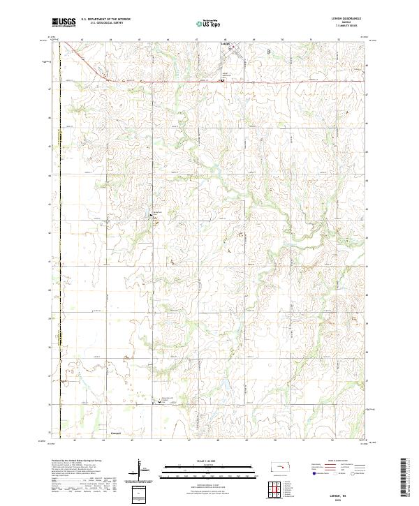
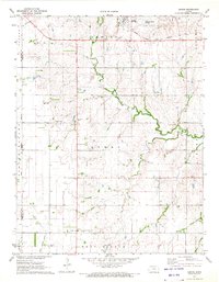 1971 Lehigh1972 Print · USGSMarion County's Mennonite farming heartland is captured here in the early seventies, centered on the rail-side community of Lehigh. Researchers can trace local lineage through several historic sites, including the Alexanderwohl Ch and Springfield Cem.2 unique versions available
 - 1971 Map of Waldeck, 1972 Print
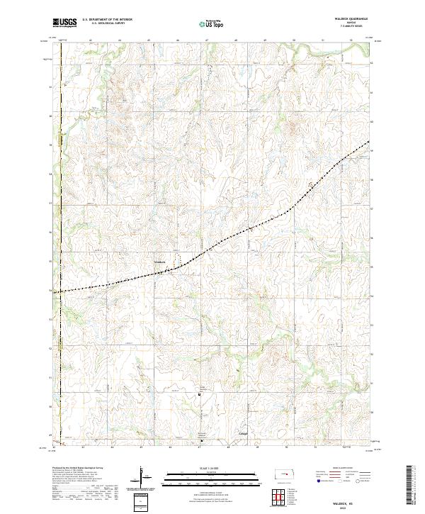
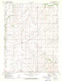 1971 Waldeck1972 Print · USGSMarion County rail and river life is captured here in the early seventies, centered on the small settlements of Lehigh and Waldeck. Researchers can trace old family roots at Mennonite Cem and follow the paths of the Atchison Topeka and Santa Fe railroad.2 unique versions available
 - 1985 Map of Hutchinson
 1985 Hutchinson1985 Print · USGSCentral Kansas in the mid-1980s is revealed here as a landscape of productive plains, rail corridors, and growing college towns. Genealogists and historians can trace family plots at McPherson Cemetery and follow the routes of the Missouri Pacific through settlements like Moundridge and Hesston.2 unique versions available
 - 2009 Map of Waldeck, 2009 Print
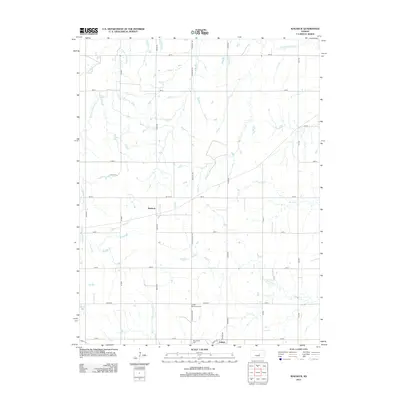
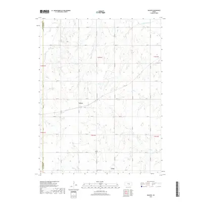
 2009 Waldeck2009 Print · USGSCovers Lehigh, including Waldeck, Marion County, and other nearby areas
 - 2010 Map of Lehigh, 2010 Print
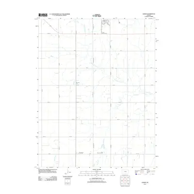
 2010 Lehigh2010 Print · USGSCovers Lehigh, including Goessel, Marion County, and other nearby areas
 - 2012 Map of Waldeck, 2012 Print
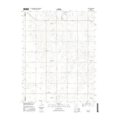
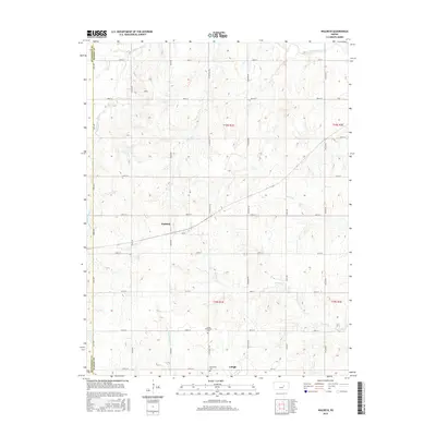
 2012 Waldeck2012 Print · USGSCovers Lehigh, including Waldeck, Marion County, and other nearby areas
 - 2012 Map of Lehigh, 2012 Print
 2012 Lehigh2012 Print · USGSCovers Lehigh, including Goessel, Marion County, and other nearby areas
 - 2015 Map of Lehigh, 2015 Print
 2015 Lehigh2015 Print · USGSCovers Lehigh, including Goessel, Marion County, and other nearby areas
 - 2015 Map of Waldeck, 2015 Print
 2015 Waldeck2015 Print · USGSCovers Lehigh, including Waldeck, Marion County, and other nearby areas
 - 2018 Map of Waldeck, 2018 Print
 2018 Waldeck2018 Print · USGSCovers Lehigh, including Waldeck, Marion County, and other nearby areas
 - 2018 Map of Lehigh, 2018 Print
 2018 Lehigh2018 Print · USGSCovers Lehigh, including Goessel, Marion County, and other nearby areas
 - 2022 Map of Waldeck, 2022 Print
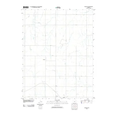
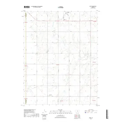
 2022 Waldeck2022 Print · USGSMarion County farming communities are documented here in the early twenty-first century, showing the enduring grid of the Kansas prairie. Genealogists and historians can locate family burial sites at the Mennonite Brethren Church Cem and trace watercourses like French Cr and the N Cottonwood River.
 - 2022 Map of Lehigh, 2022 Print
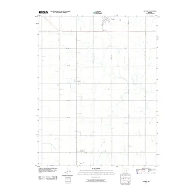
 2022 Lehigh2022 Print · USGSMarion and McPherson counties are shown here at the turn of the twenty-first century, preserving a landscape shaped by early trails and faith communities. Genealogists can locate family sites near the Alexanderwohl Friedhof Cem or trace the historic path of the N Chisholm Trl.
End of results
Showing maps 1-17 of 17
Top cities near Lehigh
- Hesston historical maps
- Hillsboro historical maps
- Moundridge historical maps
- Peabody historical maps
- Canton historical maps
- Goessel historical maps
See more
Frequently asked questions
- What are the different types of historical maps available for Lehigh?
- What is the oldest map of Lehigh?
- Where can I purchase historical maps of Lehigh for my home or office?
- Where can I download high-res historical maps of Lehigh?
- Are there historical topographic maps available for Lehigh?
- Is there historical aerial imagery available for Lehigh?
- Where are historical maps of Lehigh sourced from?