Old Maps of Hobart, Kansas
Explore 10 old maps of Hobart, spanning from 1955 to today. These high-resolution historic maps reveal how streets, neighborhoods, landmarks, and natural features evolved over time — perfect for genealogy, metal detecting, research, and local history exploration.
What you can do with these maps:
- See how Hobart changed over time: Compare historical maps to modern-day views to trace roads, homesites, rail lines & more.
- View detailed metadata: Each map includes creators, publishers, year, scale, and archive source.
- Overlay maps with satellite & LiDAR: Visualize the past alongside modern tools to explore terrain & human change.
- Trusted historical sources: Maps sourced from the USGS, Library of Congress, and other archives.
- Access maps your way: View online, download high-res files, or order prints for personal or research use.
Start exploring old maps of Hobart to uncover forgotten places, hidden landmarks, and the deep history beneath your feet.
Hobart, KS maps
(10)- 1955 Map of Dodge City, 1968 Print
 1955 Dodge City1968 Print · USGSSouthwest Kansas in the mid-fifties reveals an expansive landscape of cattle towns, early gas fields, and prairie outposts. Researchers can trace rural school districts like Moundview and Good Luck or locate the Kansas State Game Farm near Lakin.3 unique versions available
 - 1958 Map of Dodge City
 1958 Dodge City1958 Print · USGSSouthwest Kansas in the late fifties shows a landscape of river-valley agriculture and burgeoning energy infrastructure. Genealogists can trace rural life through numerous landmarks like Fairview Cemetery, the Goodwell School, and Concord Church.
 - 1959 Map of Dodge City
 1959 Dodge City1959 Print · USGSSouthwest Kansas in the mid-fifties is captured at its agricultural height, centered on the vital rail and river hubs of Dodge City and Garden City. Genealogists and local historians can trace rural school districts like Shockey School and Hickok School or locate the Fairview Cemetery.
 - 1963 Map of Plains, 1964 Print
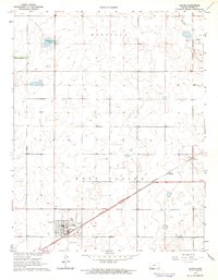 1963 Plains1964 Print · USGSMeade County, Kansas, is captured here in the early 1960s as a thriving center for rail-side agriculture and resource extraction. You can trace the community layout of Plains (West Plains), the diagonal path of the Chicago Rock Island and Pacific railroad, and localized features like Wildhorse Lake.
 - 1985 Map of Liberal
 1985 Liberal1985 Print · USGSThe High Plains of Southwest Kansas and the Oklahoma panhandle come alive in the mid-eighties, centered on the growing city of Liberal. Genealogists and historians can trace the paths of the Atchison Topeka and Santa Fe through settlements like Kismet and Arkalon.2 unique versions available
 - 2010 Map of Plains, 2010 Print
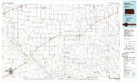
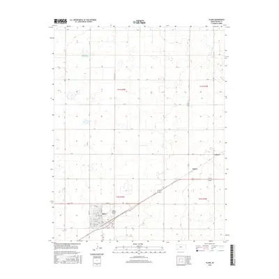
 2010 Plains2010 Print · USGSCovers Hobart, including Plains, Collano, and other nearby areas
 - 2012 Map of Plains, 2012 Print
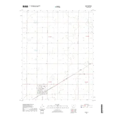
 2012 Plains2012 Print · USGSCovers Hobart, including Plains, Collano, and other nearby areas
 - 2016 Map of Plains, 2016 Print
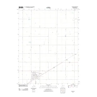
 2016 Plains2016 Print · USGSCovers Hobart, including Plains, Collano, and other nearby areas
 - 2018 Map of Plains, 2018 Print
 2018 Plains2018 Print · USGSCovers Hobart, including Plains, Collano, and other nearby areas
 - 2022 Map of Plains, 2022 Print
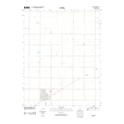
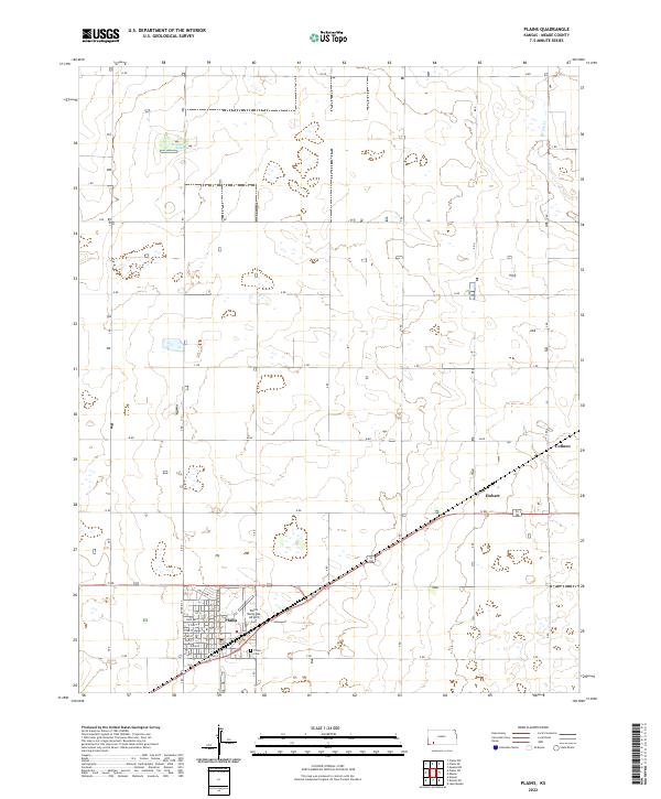 2022 Plains2022 Print · USGSMeade County, Kansas, is shown here as it appears today, centered on the grid of Plains and its surrounding agricultural plains. Genealogists and local historians can trace the town’s layout and find specific locations like the Plains Cem and Plains Municipal Airport.
End of results
Showing maps 1-10 of 10
Top cities near Hobart
Frequently asked questions
- What are the different types of historical maps available for Hobart?
- What is the oldest map of Hobart?
- Where can I purchase historical maps of Hobart for my home or office?
- Where can I download high-res historical maps of Hobart?
- Are there historical topographic maps available for Hobart?
- Is there historical aerial imagery available for Hobart?
- Where are historical maps of Hobart sourced from?