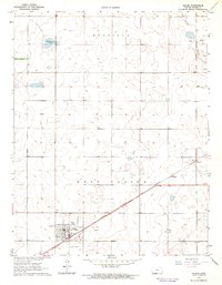
1963 Map of Plains
USGS Topo · Published 1964About this map
Plains (West Plains) anchors this high plains landscape in Meade County, serving as a primary hub for the surrounding ranching and agricultural operations. The settlement is defined by its grid-pattern streets, featuring local social and recreational landmarks such as the Country Club, Athletic Field, and a municipal Landing Field. To the northeast, the smaller sidings or stops at Hobart and Collano sit along the diagonal route of the Chicago Rock Island and Pacific railroad, illustrating the critical role of rail transport in the mid-century regional economy.
Find a feature on this map
15 named features on this map. Tap any name to fly to it.
Don’t see what you’re looking for? This feature index may not catch every label — zoom into the map to look around manually.
Map Details
Editions of this 1963 Plains Map
This is the sole edition of this map. No revisions or reprints were ever made.
Other maps of this area
1892 · Meade
USGS Topo · 1:125,000
1955 · Dodge City
USGS Topo · 1:250,000
1958 · Dodge City
USGS Topo · 1:250,000
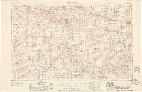
1959 · Dodge City
USGS Topo · 1:250,000
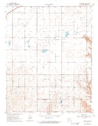
1963 · Kismet NE
USGS Topo · 1:24,000
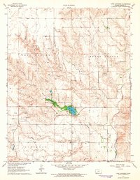
1963 · Lake Larrabee
USGS Topo · 1:24,000
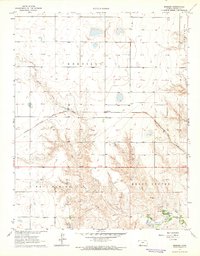
1963 · Missler
USGS Topo · 1:24,000
1967 · Plains NE
USGS Topo · 1:24,000
1968 · Plains SW
USGS Topo · 1:24,000
1968 · Plains NW
USGS Topo · 1:24,000