
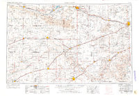
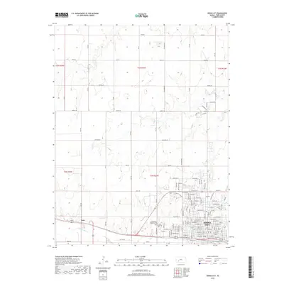
1959 Map of Dodge City
USGS Topo · Published 1959About this map
Dodge City and the vast agricultural plains of southwest Kansas are documented here in the mid-1950s, a landscape defined by the life-giving corridors of the Arkansas River and Cimarron River. The region’s development is closely tied to its transportation networks, with the Atchison Topeka and Santa Fe and the Chicago Rock Island and Pacific railroads connecting remote grain elevators and shipping hubs like Garden City and Liberal.
Find a feature on this map
70 named features on this map. Tap any name to fly to it.
Don’t see what you’re looking for? This feature index may not catch every label — zoom into the map to look around manually.
Map Details
Editions of this 1959 Dodge City Map
This is the sole edition of this map. No revisions or reprints were ever made.
Historical Maps of Garden City Through Time
10 maps found
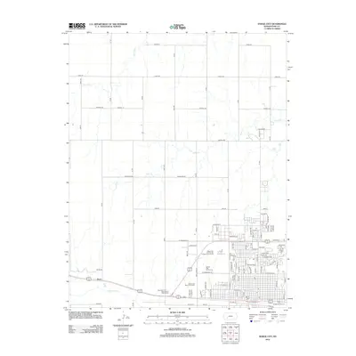
1955 Dodge City
Ford County, KS

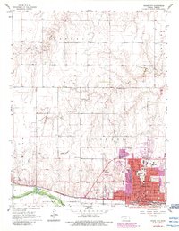
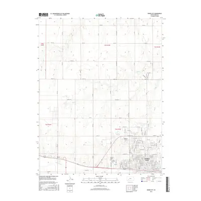
1958 Dodge City
Ford County, KS
1959 Dodge City
Ford County, KS
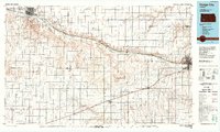
1968 Dodge City
Ford County, KS
1985 Dodge City
Ford County, KS
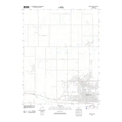
2010 Dodge City
Ford County, KS
2012 Dodge City
Ford County, KS
2016 Dodge City
Ford County, KS
2018 Dodge City
Ford County, KS
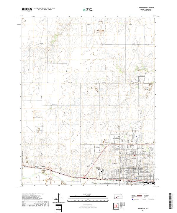
2022 Dodge City
Ford County, KS