
1892 Map of Dodge
USGS Topo · Published 1892About this map
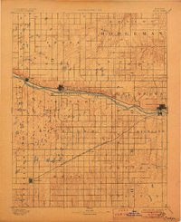
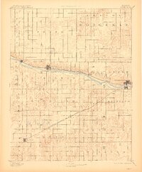
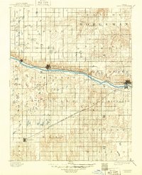
The Arkansas River carves a central path through the western Kansas plains, serving as the primary corridor for regional development and transportation in the early 1890s. This survey, conducted under director J.W. Powell, illustrates a landscape transition where the northern cattle-trade centers and agricultural townships meet the infrastructure of the expanding Southwest. The Atchison Topeka and Santa Fe Railroad follows the northern bank of the river, connecting Ingalls and Cimarron to the established town of Dodge.
Find a feature on this map
27 named features on this map. Tap any name to fly to it.
Don’t see what you’re looking for? This feature index may not catch every label — zoom into the map to look around manually.
Map Details
Editions of this 1892 Dodge Map
4 editions found
Other maps of this area

1892 · Ness
USGS Topo · 1:125,000

1892 · Meade
USGS Topo · 1:125,000

1892 · Spearville
USGS Topo · 1:125,000

1894 · Spearville
USGS Topo · 1:125,000

1894 · Ness
USGS Topo · 1:125,000

1896 · Garden
USGS Topo · 1:125,000

1896 · Ashland
USGS Topo · 1:125,000

1955 · Great Bend
USGS Topo · 1:250,000

1955 · Pratt
USGS Topo · 1:250,000

1955 · Dodge City
USGS Topo · 1:250,000