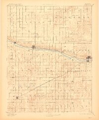
1892 Map of Dodge
USGS Topo · Published 1910About this map
Arkansas River hydrology and the development of rail lines define this late 19th-century survey of southwestern Kansas. The Atchison Topeka and Santa Fe Railroad follows the northern bank of the river, connecting riverside settlements like Ingalls, Cimarron, and Howell to the regional hub at Dodge. To the south, the diagonal route of the Dodge City Montezuma and Trinidad Railroad cuts through the townships of Richland and Concord toward the isolated grid of Montezuma.
Find a feature on this map
27 named features on this map. Tap any name to fly to it.
Don’t see what you’re looking for? This feature index may not catch every label — zoom into the map to look around manually.
Map Details
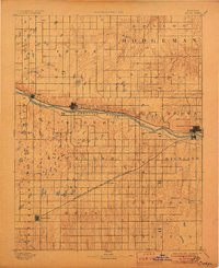
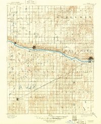
Editions of this 1892 Dodge Map
4 editions found
Other maps of this area

1892 · Ness
USGS Topo · 1:125,000

1892 · Meade
USGS Topo · 1:125,000

1892 · Dodge
USGS Topo · 1:125,000

1892 · Spearville
USGS Topo · 1:125,000

1894 · Spearville
USGS Topo · 1:125,000

1894 · Ness
USGS Topo · 1:125,000

1896 · Garden
USGS Topo · 1:125,000

1896 · Ashland
USGS Topo · 1:125,000

1955 · Great Bend
USGS Topo · 1:250,000

1955 · Pratt
USGS Topo · 1:250,000