
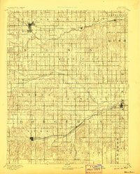
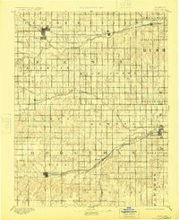
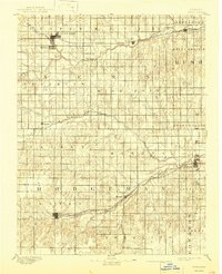
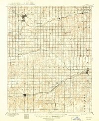
1894 Map of Ness
USGS Topo · Published 1894About this map
Ness City and Jetmore serve as the primary hubs of this western Kansas landscape during the late nineteenth century, connected by the growing reach of the Atchison Topeka and Santa Fe Railroad. The rail line cuts across the northern and southern portions of the territory, passing through smaller communities like Bazine and Marena. The region is defined by a series of significant drainage systems, including Pawnee Fork, Walnut Creek, and the curiously named Guzzlers Gulch, which shaped the early settlement patterns and agricultural potential of the high plains.
Find a feature on this map
38 named features on this map. Tap any name to fly to it.
Don’t see what you’re looking for? This feature index may not catch every label — zoom into the map to look around manually.
Map Details
Editions of this 1894 Ness Map
5 editions found
Other maps of this area

1889 · Larned
USGS Topo · 1:125,000

1889 · Kinsley
USGS Topo · 1:125,000

1891 · Larned
USGS Topo · 1:125,000

1892 · Ness
USGS Topo · 1:125,000

1892 · Kinsley
USGS Topo · 1:125,000

1892 · Dodge
USGS Topo · 1:125,000

1892 · Spearville
USGS Topo · 1:125,000

1893 · Ellis
USGS Topo · 1:125,000

1894 · Spearville
USGS Topo · 1:125,000

1894 · Kinsley
USGS Topo · 1:125,000