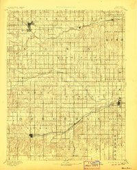
1894 Map of Ness
USGS Topo · Published 1906About this map
Ness and Jetmore serve as the primary hubs in this late 19th-century reconnaissance of west-central Kansas, a landscape defined by the parallel paths of the Atchison Topeka and Santa Fe Railroad and various western tributaries. Surveyed by R.M. Towson and H.L. Baldwin Jr. in 1889, the map captures the transition of the high plains into organized agricultural townships. Smaller communities and post offices like Schoharie P.O., Sidney, and Marena are distributed along the drainage basins of the Walnut Creek and the Pawnee River. These watercourses, including Buckner Creek and Saw Mill Cr., dictated early settlement patterns and the orientation of the rail lines that connected this region to broader markets. The detailed contouring illustrates the subtle breaks and draws of the terrain, providing a look at the geography before modern irrigation altered the rural landscape.
Find a feature on this map
39 named features on this map. Tap any name to fly to it.
Don’t see what you’re looking for? This feature index may not catch every label — zoom into the map to look around manually.
Map Details
Editions of this 1894 Ness Map
5 editions found

Other maps of this area

1889 · Larned
USGS Topo · 1:125,000

1889 · Kinsley
USGS Topo · 1:125,000

1891 · Larned
USGS Topo · 1:125,000

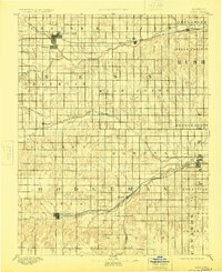
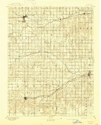
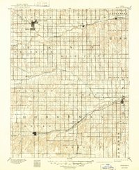
1892 · Ness
USGS Topo · 1:125,000

1892 · Kinsley
USGS Topo · 1:125,000

1892 · Dodge
USGS Topo · 1:125,000

1892 · Spearville
USGS Topo · 1:125,000

1893 · Ellis
USGS Topo · 1:125,000

1894 · Spearville
USGS Topo · 1:125,000

1894 · Kinsley
USGS Topo · 1:125,000