
1893 Map of Ellis
USGS Topo · Published 1893About this map
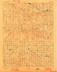
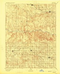
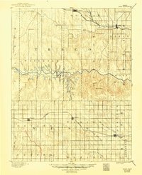
The Smoky Hill River carves an undulating path through the heart of the Kansas high plains, defined here by the steep breaks of Cedar Bluff and the narrow corridor of Cedar Gorge. Surveyed in the early 1890s, the landscape is organized by two vital east-west transport corridors: the Union Pacific Railroad in the north, serving the hub of Ellis, and the Missouri Pacific Railroad crossing through the southern townships.
Find a feature on this map
33 named features on this map. Tap any name to fly to it.
Don’t see what you’re looking for? This feature index may not catch every label — zoom into the map to look around manually.
Map Details
Editions of this 1893 Ellis Map
4 editions found
Other maps of this area

1889 · Larned
USGS Topo · 1:125,000

1891 · Larned
USGS Topo · 1:125,000

1892 · Ness
USGS Topo · 1:125,000

1893 · Hill
USGS Topo · 1:125,000

1894 · Ness
USGS Topo · 1:125,000

1896 · Hays
USGS Topo · 1:125,000

1896 · Plainville
USGS Topo · 1:125,000

1954 · Goodland
USGS Topo · 1:250,000

1955 · Great Bend
USGS Topo · 1:250,000

1955 · Scott City
USGS Topo · 1:250,000