
1896 Map of Hays
USGS Topo · Published 1896About this map
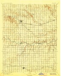
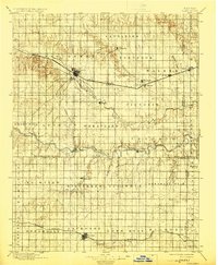
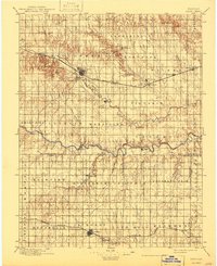
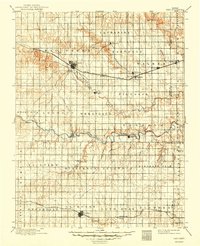
The Union Pacific R. R. cuts across the High Plains of central Kansas in the late 19th century, serving as the primary spine for settlements like Hays, Victoria, and Walker. This survey captures a landscape organized into distinct townships including Catharine, Herzog, and Lone Star, illustrating the systematic division of land following the Homestead Act. Further south, the Missouri Pacific R. R. connects Lacrosse, Bison, and Otis, providing a secondary corridor for agriculture and trade. Between these two rail lines, the Smoky Hill River meanders eastward, its valley dotted with smaller communities such as Schoengen, Pfeifer, and Liebenthal. The map reveals the intricate drainage patterns of the region, from the North Fork Big Creek to the deep draws of Hungry Hollow, reflecting the topographical challenges faced by early settlers in this prairie environment.
Find a feature on this map
50 named features on this map. Tap any name to fly to it.
Don’t see what you’re looking for? This feature index may not catch every label — zoom into the map to look around manually.
Map Details
Editions of this 1896 Hays Map
5 editions found
Other maps of this area

1889 · Larned
USGS Topo · 1:125,000

1891 · Great Bend
USGS Topo · 1:125,000

1891 · Larned
USGS Topo · 1:125,000

1892 · Ness
USGS Topo · 1:125,000

1893 · Ellis
USGS Topo · 1:125,000

1893 · Great Bend
USGS Topo · 1:125,000

1893 · Hill
USGS Topo · 1:125,000

1894 · Ness
USGS Topo · 1:125,000

1896 · Osborne
USGS Topo · 1:125,000

1896 · Russell
USGS Topo · 1:125,000