
1893 Map of Great Bend
USGS Topo · Published 1893About this map
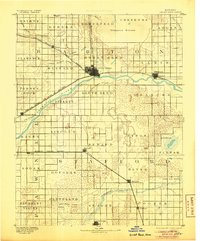
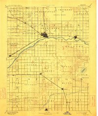
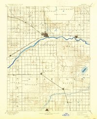
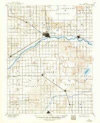
The Arkansas River defines the geography of central Kansas in the late 19th century, carving a wide arc through the prairie where the Atchison Topeka and Santa Fe Railroad established a vital transportation corridor. The settlement of Great Bend serves as the primary hub, surrounded by a grid of townships like Lakin and Buffalo. To the north, the massive depression of Cheyenne Bottoms and the winding course of Walnut Creek illustrate the area's complex drainage, while the southern reaches near St. John are marked by the presence of Rattlesnake Creek and the Missouri Pacific Railway. Grounded in an 1889 survey, the map captures the transition of the Great Plains into a formal agricultural landscape, complete with specialized features like the Salt Marsh and Salt Springs in the eastern townships, reflecting the diverse environmental characteristics of Barton and Stafford counties.
Find a feature on this map
49 named features on this map. Tap any name to fly to it.
Don’t see what you’re looking for? This feature index may not catch every label — zoom into the map to look around manually.
Map Details
Editions of this 1893 Great Bend Map
5 editions found
Other maps of this area

1889 · Larned
USGS Topo · 1:125,000

1889 · Kinsley
USGS Topo · 1:125,000

1891 · Great Bend
USGS Topo · 1:125,000

1891 · Larned
USGS Topo · 1:125,000

1892 · Kinsley
USGS Topo · 1:125,000

1892 · Kingman
USGS Topo · 1:125,000

1892 · Pratt
USGS Topo · 1:125,000

1894 · Ellsworth
USGS Topo · 1:125,000

1894 · Kinsley
USGS Topo · 1:125,000

1894 · Kingman
USGS Topo · 1:125,000