Old Maps of Buffalo Township, Kansas
Explore 30 old maps of Buffalo Township, spanning from 1891 to today. These high-resolution historic maps reveal how streets, neighborhoods, landmarks, and natural features evolved over time — perfect for genealogy, metal detecting, research, and local history exploration.
What you can do with these maps:
- See how Buffalo Township changed over time: Compare historical maps to modern-day views to trace roads, homesites, rail lines & more.
- View detailed metadata: Each map includes creators, publishers, year, scale, and archive source.
- Overlay maps with satellite & LiDAR: Visualize the past alongside modern tools to explore terrain & human change.
- Trusted historical sources: Maps sourced from the USGS, Library of Congress, and other archives.
- Access maps your way: View online, download high-res files, or order prints for personal or research use.
Start exploring old maps of Buffalo Township to uncover forgotten places, hidden landmarks, and the deep history beneath your feet.
Buffalo Township, KS maps
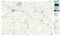
(30)- 1891 Map of Great Bend
 1891 Great Bend1891 Print · USGSThe Arkansas River valley comes alive in the late nineteenth century as railroads transform the Kansas prairie. Genealogists and historians can trace the early growth of Great Bend, the salt-spring landscapes of Byron, and rail stops like Seward and Heizer.
 - 1893 Map of Great Bend
 1893 Great Bend1893 Print · USGSCentral Kansas was undergoing rapid settlement in the late nineteenth century as the railroads moved across the prairie. Genealogists and historians can trace early townships and station stops like Great Bend, Pawnee Rock, and Ellinwood along the Arkansas River.5 unique versions available
 - 1955 Map of Great Bend, 1966 Print
 1955 Great Bend1966 Print · USGSCentral Kansas during the mid-sixties transition reveals a landscape defined by new reservoirs and enduring rail corridors. Researchers can trace the development of towns like Hays and Great Bend or locate natural landmarks such as Round Mound and the wetlands of the Quivira National Wildlife Refuge.3 unique versions available
 - 1957 Map of Great Bend
 1957 Great Bend1957 Print · USGSCentral Kansas at the peak of the postwar era shows a landscape of growing rail hubs and massive new water projects. Trace the routes of the Union Pacific through Hays or locate the newly formed shorelines of Cedar Bluff Reservoir and Kanopolis Reservoir.
 - 1958 Map of Great Bend
 1958 Great Bend1958 Print · USGSCentral Kansas in the late fifties reveals a landscape of high-plains agriculture and vital river crossings. Researchers can trace the development of regional hubs like Hays and Russell, or locate historic sites such as Fort Larned and the Cheyenne Bottoms wildlife area.2 unique versions available
 - 1958 Map of Great Bend, 1959 Print
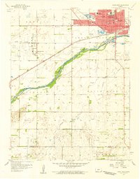 1958 Great Bend1959 Print · USGSGreat Bend and the surrounding Kansas plains are captured in detail during the late fifties, showing a bustling regional center defined by the Arkansas River. Genealogists and local historians can trace many neighborhood schools like Lincoln Sch or locate family plots in the Great Bend Cemetery.3 unique versions available
 - 1959 Map of Great Bend NE, 1960 Print
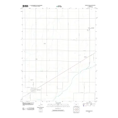
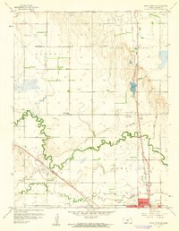 1959 Great Bend NE1960 Print · USGSBarton County at the close of the 1950s reveals a landscape defined by meandering creeks, expanding oil fields, and a network of rural schools. Genealogists and historians can locate Walnut Valley Cem, trace the Koen Canal, and find early landmarks like Jefferson Sch.3 unique versions available
 - 1960 Map of Pawnee Rock, 1961 Print
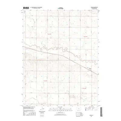
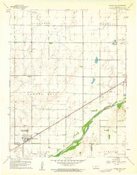 1960 Pawnee Rock1961 Print · USGSThe Kansas river valley near Pawnee Rock was a landscape of rail-driven transit and early oil exploration in the 1960s. Genealogists and historians can locate rural landmarks like Bergtal Ch, the namesake Pawnee Rock State Park, and the tracks of the Atchison Topeka and Santa Fe.2 unique versions available
 - 1960 Map of Heizer, 1961 Print
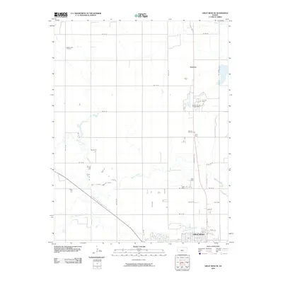
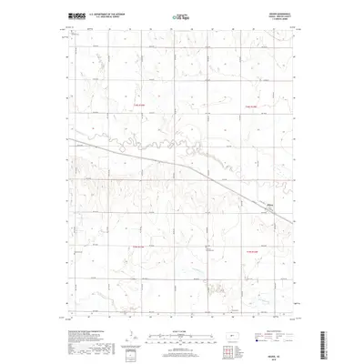
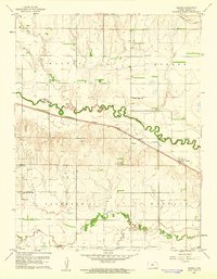 1960 Heizer1961 Print · USGSBarton County agriculture and the burgeoning oil industry meet in the 1960s along the winding Walnut Creek. Researchers can trace old rail corridors like the Atchison Topeka and Santa Fe or locate rural landmarks such as St Anthony Cem and the Walnut Ridge Sch.
 - 1985 Map of Great Bend
 1985 Great Bend1985 Print · USGSBarton and Rice counties come into focus during the mid-eighties as centers of rail transport and energy production. Genealogists and historians can trace the paths of the Atchison Topeka and Santa Fe through settlements like Ellinwood, Sterling, and Pawnee Rock.2 unique versions available
 - 2009 Map of Pawnee Rock, 2009 Print
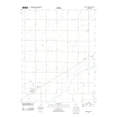
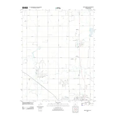
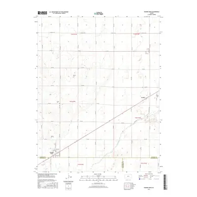
 2009 Pawnee Rock2009 Print · USGSCovers Buffalo Township, including Great Bend, Pawnee Rock, and other nearby areas
 - 2009 Map of Great Bend NE, 2009 Print
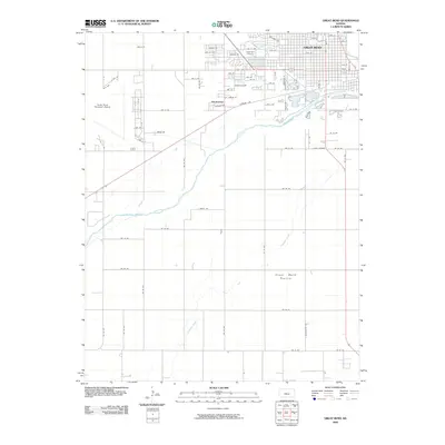
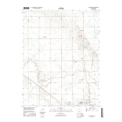
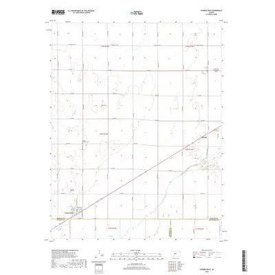
 2009 Great Bend NE2009 Print · USGSCovers Buffalo Township, including Great Bend, Kanbrick, and other nearby areas
 - 2009 Map of Heizer, 2009 Print
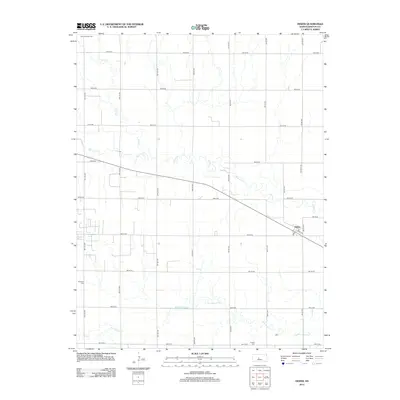
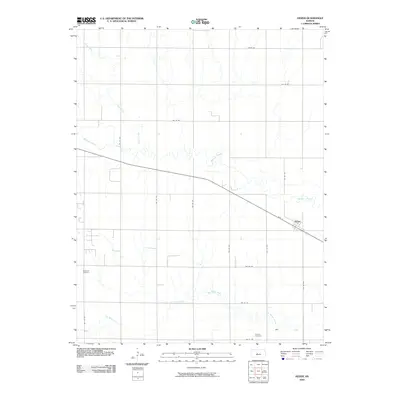 2009 Heizer2009 Print · USGSCovers Buffalo Township, including Heizer, Barton County, and other nearby areas
 - 2009 Map of Great Bend, 2009 Print
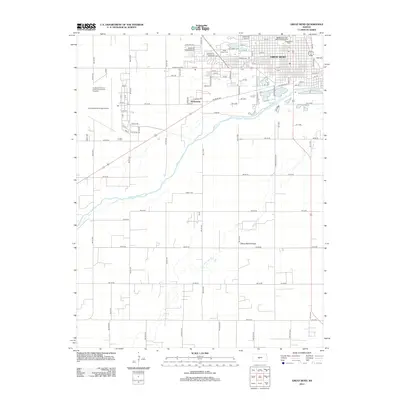
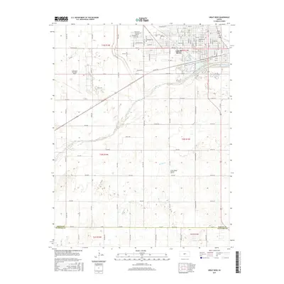
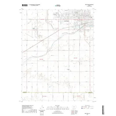
 2009 Great Bend2009 Print · USGSCovers Buffalo Township, including Great Bend, Anchorway, and other nearby areas
 - 2012 Map of Great Bend, 2012 Print
 2012 Great Bend2012 Print · USGSCovers Buffalo Township, including Great Bend, Anchorway, and other nearby areas
 - 2012 Map of Pawnee Rock, 2012 Print
 2012 Pawnee Rock2012 Print · USGSCovers Buffalo Township, including Great Bend, Pawnee Rock, and other nearby areas
 - 2012 Map of Heizer, 2012 Print
 2012 Heizer2012 Print · USGSCovers Buffalo Township, including Heizer, Barton County, and other nearby areas
 - 2012 Map of Great Bend NE, 2012 Print
 2012 Great Bend NE2012 Print · USGSCovers Buffalo Township, including Great Bend, Kanbrick, and other nearby areas
 - 2015 Map of Great Bend NE, 2015 Print
 2015 Great Bend NE2015 Print · USGSCovers Buffalo Township, including Great Bend, Kanbrick, and other nearby areas
 - 2015 Map of Great Bend, 2015 Print
 2015 Great Bend2015 Print · USGSCovers Buffalo Township, including Great Bend, Anchorway, and other nearby areas
 - 2015 Map of Pawnee Rock, 2015 Print
 2015 Pawnee Rock2015 Print · USGSCovers Buffalo Township, including Great Bend, Pawnee Rock, and other nearby areas
 - 2015 Map of Heizer, 2015 Print
 2015 Heizer2015 Print · USGSCovers Buffalo Township, including Heizer, Barton County, and other nearby areas
 - 2018 Map of Heizer, 2018 Print
 2018 Heizer2018 Print · USGSCovers Buffalo Township, including Heizer, Barton County, and other nearby areas
 - 2018 Map of Great Bend, 2018 Print
 2018 Great Bend2018 Print · USGSCovers Buffalo Township, including Great Bend, Anchorway, and other nearby areas
 - 2018 Map of Pawnee Rock, 2018 Print
 2018 Pawnee Rock2018 Print · USGSCovers Buffalo Township, including Great Bend, Pawnee Rock, and other nearby areas
Showing maps 1-25 of 30
Top cities near Buffalo Township
- Great Bend historical maps
- Larned historical maps
- Hoisington historical maps
- Pawnee Rock historical maps
- Otis historical maps
- Albert historical maps
See more
Top neighborhoods of Buffalo Township
Frequently asked questions
- What are the different types of historical maps available for Buffalo Township?
- What is the oldest map of Buffalo Township?
- Where can I purchase historical maps of Buffalo Township for my home or office?
- Where can I download high-res historical maps of Buffalo Township?
- Are there historical topographic maps available for Buffalo Township?
- Is there historical aerial imagery available for Buffalo Township?
- Where are historical maps of Buffalo Township sourced from?