Old Maps of Albert, Kansas
Explore 12 old maps of Albert, spanning from 1889 to today. These high-resolution historic maps reveal how streets, neighborhoods, landmarks, and natural features evolved over time — perfect for genealogy, metal detecting, research, and local history exploration.
What you can do with these maps:
- See how Albert changed over time: Compare historical maps to modern-day views to trace roads, homesites, rail lines & more.
- View detailed metadata: Each map includes creators, publishers, year, scale, and archive source.
- Overlay maps with satellite & LiDAR: Visualize the past alongside modern tools to explore terrain & human change.
- Trusted historical sources: Maps sourced from the USGS, Library of Congress, and other archives.
- Access maps your way: View online, download high-res files, or order prints for personal or research use.
Start exploring old maps of Albert to uncover forgotten places, hidden landmarks, and the deep history beneath your feet.
Albert, KS maps
(12)- 1889 Map of Larned, 1957 Print
 1889 Larned1957 Print · USGSWestern Kansas at the close of the frontier era shows a landscape being rapidly transformed by the iron rail and river commerce. Genealogists and historians can trace early township growth and rail stations like Rush Centre, Roselle, and the hub at Larned.
 - 1891 Map of Larned
 1891 Larned1891 Print · USGSLarned and the surrounding Kansas plains were undergoing a rapid transformation into a rail-and-river economy in the late 1880s. Local researchers can trace the growth of Larned at the river forks or follow the path of the Atchison Topeka and Santa Fe Railroad through towns like Rush Centre and Garfield.5 unique versions available
 - 1955 Map of Great Bend, 1966 Print
 1955 Great Bend1966 Print · USGSCentral Kansas during the mid-sixties transition reveals a landscape defined by new reservoirs and enduring rail corridors. Researchers can trace the development of towns like Hays and Great Bend or locate natural landmarks such as Round Mound and the wetlands of the Quivira National Wildlife Refuge.3 unique versions available
 - 1957 Map of Great Bend
 1957 Great Bend1957 Print · USGSCentral Kansas at the peak of the postwar era shows a landscape of growing rail hubs and massive new water projects. Trace the routes of the Union Pacific through Hays or locate the newly formed shorelines of Cedar Bluff Reservoir and Kanopolis Reservoir.
 - 1958 Map of Great Bend
 1958 Great Bend1958 Print · USGSCentral Kansas in the late fifties reveals a landscape of high-plains agriculture and vital river crossings. Researchers can trace the development of regional hubs like Hays and Russell, or locate historic sites such as Fort Larned and the Cheyenne Bottoms wildlife area.2 unique versions available
 - 1965 Map of Albert, 1967 Print
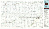
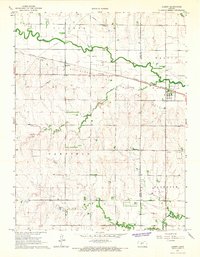 1965 Albert1967 Print · USGSMid-century Barton and Rush counties are captured here as a productive landscape of grain and gas along the Walnut Creek valley. Trace the early energy boom through the local GAS FIELD or locate family sites at Shaffer, Walnut View Sch, and the Albert Cem.
 - 1985 Map of Larned
 1985 Larned1985 Print · USGSCentral Kansas in the mid-eighties was a landscape of resilient prairie towns and vital watercourses. Genealogists and historians can trace the paths of the Atchison Topeka and Santa Fe railroad through Larned, Garfield, and Ness City, while locating heritage sites like Fort Larned National Historic Site.2 unique versions available
 - 2009 Map of Albert, 2009 Print
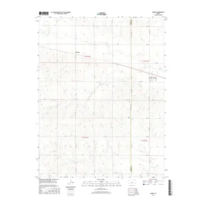
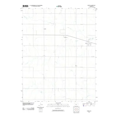 2009 Albert2009 Print · USGSCovers Albert, including Schaffer, Barton County, and other nearby areas
 - 2012 Map of Albert, 2012 Print
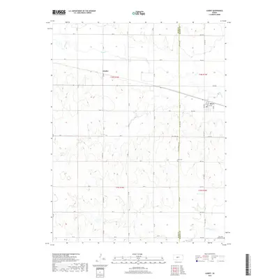
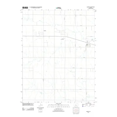 2012 Albert2012 Print · USGSCovers Albert, including Schaffer, Barton County, and other nearby areas
 - 2015 Map of Albert, 2015 Print
 2015 Albert2015 Print · USGSCovers Albert, including Schaffer, Barton County, and other nearby areas
 - 2018 Map of Albert, 2018 Print
 2018 Albert2018 Print · USGSCovers Albert, including Schaffer, Barton County, and other nearby areas
 - 2022 Map of Albert, 2022 Print
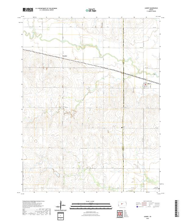 2022 Albert2022 Print · USGSThe agricultural plains of western Kansas are documented here in recent years, showing the intersection of Barton and Rush counties. Genealogists can locate family landmarks such as Albert Cem and Saint Pauls Lutheran Cem near the towns of Albert and Schaffer.
End of results
Showing maps 1-12 of 12
Top cities near Albert
- Great Bend historical maps
- Hoisington historical maps
- Buffalo Township historical maps
- Pawnee Rock historical maps
- Otis historical maps
- Bison historical maps
See more
Frequently asked questions
- What are the different types of historical maps available for Albert?
- What is the oldest map of Albert?
- Where can I purchase historical maps of Albert for my home or office?
- Where can I download high-res historical maps of Albert?
- Are there historical topographic maps available for Albert?
- Is there historical aerial imagery available for Albert?
- Where are historical maps of Albert sourced from?