Old Maps of Hoisington, Kansas
Explore 11 old maps of Hoisington, spanning from 1896 to today. These high-resolution historic maps reveal how streets, neighborhoods, landmarks, and natural features evolved over time — perfect for genealogy, metal detecting, research, and local history exploration.
What you can do with these maps:
- See how Hoisington changed over time: Compare historical maps to modern-day views to trace roads, homesites, rail lines & more.
- View detailed metadata: Each map includes creators, publishers, year, scale, and archive source.
- Overlay maps with satellite & LiDAR: Visualize the past alongside modern tools to explore terrain & human change.
- Trusted historical sources: Maps sourced from the USGS, Library of Congress, and other archives.
- Access maps your way: View online, download high-res files, or order prints for personal or research use.
Start exploring old maps of Hoisington to uncover forgotten places, hidden landmarks, and the deep history beneath your feet.
Hoisington, KS maps
(11)- 1896 Map of Russell
 1896 Russell1896 Print · USGSCentral Kansas at the end of the nineteenth century reveals a landscape shaped by the Union Pacific and Missouri Pacific railroads. Genealogists can trace early homesteads near Maherville P.O., Dubuque, and the marshy Cheyenne Bottoms.4 unique versions available
 - 1955 Map of Great Bend, 1966 Print
 1955 Great Bend1966 Print · USGSCentral Kansas during the mid-sixties transition reveals a landscape defined by new reservoirs and enduring rail corridors. Researchers can trace the development of towns like Hays and Great Bend or locate natural landmarks such as Round Mound and the wetlands of the Quivira National Wildlife Refuge.3 unique versions available
 - 1957 Map of Great Bend
 1957 Great Bend1957 Print · USGSCentral Kansas at the peak of the postwar era shows a landscape of growing rail hubs and massive new water projects. Trace the routes of the Union Pacific through Hays or locate the newly formed shorelines of Cedar Bluff Reservoir and Kanopolis Reservoir.
 - 1958 Map of Great Bend
 1958 Great Bend1958 Print · USGSCentral Kansas in the late fifties reveals a landscape of high-plains agriculture and vital river crossings. Researchers can trace the development of regional hubs like Hays and Russell, or locate historic sites such as Fort Larned and the Cheyenne Bottoms wildlife area.2 unique versions available
 - 1969 Map of Hoisington, 1971 Print
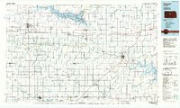
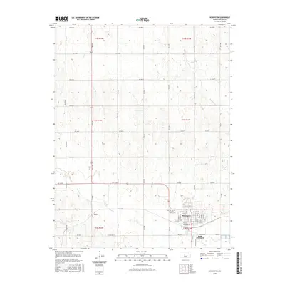
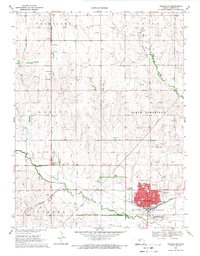 1969 Hoisington1971 Print · USGSBarton County oil production and rail transport are at their peak in the late sixties. Genealogists and local historians can trace the foundations of Hoisington through its many schools, including Lincoln Sch, and locate rural landmarks like Olivet Cem and the Boyd Oil Field.
 - 1985 Map of Russell
 1985 Russell1985 Print · USGSCentral Kansas in the mid-eighties shows a landscape defined by the energy industry and massive water projects. Genealogists and researchers can trace the rural road networks connecting Russell and Ellsworth to smaller locales like Dubuque and Black Wolf.2 unique versions available
 - 2009 Map of Hoisington, 2009 Print
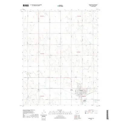
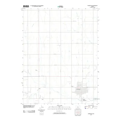 2009 Hoisington2009 Print · USGSCovers Hoisington, including Boyd, South Hoisington, and other nearby areas
 - 2012 Map of Hoisington, 2012 Print
 2012 Hoisington2012 Print · USGSCovers Hoisington, including Boyd, South Hoisington, and other nearby areas
 - 2015 Map of Hoisington, 2015 Print
 2015 Hoisington2015 Print · USGSCovers Hoisington, including Boyd, South Hoisington, and other nearby areas
 - 2018 Map of Hoisington, 2018 Print
 2018 Hoisington2018 Print · USGSCovers Hoisington, including Boyd, South Hoisington, and other nearby areas
 - 2022 Map of Hoisington, 2022 Print
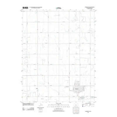
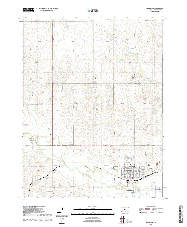 2022 Hoisington2022 Print · USGSBarton County is captured in detail during the early 2020s, showing the agricultural grids and creek-fed valleys surrounding Hoisington. Researchers can locate family sites near Boyd or trace the grounds of Saint John the Evangelist Catholic Cem.
End of results
Showing maps 1-11 of 11
Top cities near Hoisington
- Great Bend historical maps
- Ellinwood historical maps
- Buffalo Township historical maps
- Olmitz historical maps
- Beaver historical maps
- Galatia historical maps
See more
Frequently asked questions
- What are the different types of historical maps available for Hoisington?
- What is the oldest map of Hoisington?
- Where can I purchase historical maps of Hoisington for my home or office?
- Where can I download high-res historical maps of Hoisington?
- Are there historical topographic maps available for Hoisington?
- Is there historical aerial imagery available for Hoisington?
- Where are historical maps of Hoisington sourced from?