
1896 Map of Russell
USGS Topo · Published 1896About this map
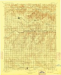
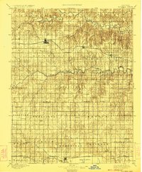
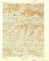
The Union Pacific corridor serves as the primary artery through this Central Kansas landscape, anchoring the significant settlements of Russell, Bunker Hill, and Dorrance. To the north, the Saline River cuts through the high plains, while the Smoky Hill River meanders across the central portion of the sheet. The southern edge is defined by the Missouri Pacific R. R. network and the beginning of the expansive Cheyenne Bottoms marsh system. This 1890s survey captures a transition in local geography where early post offices like Maherville P.O. and small communities such as Woodville, Dubuque, and Hawley were still distinct points on the rural map. The grid-based township structure is clearly visible, reflecting the era's systematic land division and the emerging prominence of agricultural hubs like Hoisington and Claflin.
Find a feature on this map
65 named features on this map. Tap any name to fly to it.
Don’t see what you’re looking for? This feature index may not catch every label — zoom into the map to look around manually.
Map Details
Editions of this 1896 Russell Map
4 editions found
Other maps of this area

1889 · Larned
USGS Topo · 1:125,000

1891 · Great Bend
USGS Topo · 1:125,000

1891 · Larned
USGS Topo · 1:125,000

1893 · Great Bend
USGS Topo · 1:125,000

1894 · Ellsworth
USGS Topo · 1:125,000

1894 · Lyons
USGS Topo · 1:125,000

1894 · Beloit
USGS Topo · 1:125,000

1896 · Osborne
USGS Topo · 1:125,000

1896 · Hays
USGS Topo · 1:125,000

1896 · Plainville
USGS Topo · 1:125,000